

 Supported


About This File
G'Day Simtropians,
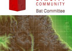
Today I wish to present a map requested courtesy of Johnsmith, Thanks mate. It is of Mt Whitney and environs in California and is the highest summit in the contiguous United States.
See me up CLOSE and personal.
This is a real world map and was produced with dem data. It measures 53.248km x 45.056km and utilising 16bit mapping technology it is in .SC4M format. Wouanagaine's mapper or terraformer is required for importation. The map is terrain and scale accurate.
A readme has been included containing some links and instructions and a picture.
I think that's all.
Cheers







Recommended Comments
Sign In or register to comment...
To comment in reply, you must be a community member
Sign In
Already have an account? Sign in here.
Sign In NowCreate an Account
Sign up to join our friendly community. It's easy!
Register a New Account