Supported



About This File
– Archemediesx’s Sim the Nation Series –
– Wyoming Region 02/10 –
– Cheyenne, Wyoming –
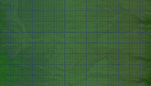
The Cheyenne Wyoming map contains an elevation profile from 1688m at the bottom of the Crow Creek valley to 2308m atop the high plains bluffs. The map encompasses 57.344 km x 32.768 km across the northern front range.
This Region map maintains a faithful 1:1 ratio for a scale accurate representation of the region to < 1.0% margin of error accounting for map projection. Two maps are provided, a 1:1 elevation ratio map, and a second offset preserving the 620m elevation profile, but set to a minimum elevation of 280 to allow for easy carving of maxis water into the river valley.
Included in the zip is a preview image, a regional description pdf, SC4M and Configuration bmp files. They requires Wouanagaine's mapper or terraformer to import it into SC4.
The preview was rendered using the NHP San Faraway Terrain Mod
All Sim the Nation series maps are produced using 1/3 Arc Second DEM and 16bit images to produce X,Y,Z Scale Accurate Geographic based maps.
-
 3
3