

 Supported

About This File
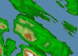
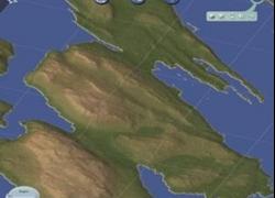
Scale accurate region of Saltspring Island, British Columbia, Canada
My first Canadian island! Saltspring is in the channel that lies between Vancouver Island and the mainland, called the Georgia Straight by Canadians, and the Straight of Juan de Fuca by Americans. it is one of the Canadian Gulf Islands, and the population is strongly tilted toward artists and artisans. Served by ferries running bewtween the mainland, Vancouver Islands, and other Gulf Islands. No airport, although there is regular float plane service.
Most of the island is quite sloped, so building tends to be concentrated near the shores, although there is an increasing amount of development, primarily of private homes, in the interior.
The Land on the west side of the region is Vancouver Island; that in the northeast is Galiano Island. In the east is Prevost Island, and in the southeast is Piers island.
The Region is 5x7 large city tiles. The zip includes this file, the config.bmp and an sc4m of the region. See the Omnibus for instructions on using sc4m files.
Cheers.
Click the thumb for a larger version, showing tile arrangement.


