


Special 1 - Cartography of Cathnoquey


Hiya everyone, and happy new year ![]()
I'm soon getting my PC upgraded, and I've decided to sort of wait until then before posting more of Cathnoquey. That, and the fact that I want to do a Snowfall city at some point.
Today's going to be a bit of a different entry. We're going to take a look at some of the maps of the setting!

Hmm..It will be fun to map this! But let's begin with the setting itself.

If you follow my CJ you've probably noticed it takes place in a modern version of the Elder Scrolls settings. Well, this is the political map of Tamriel in the (alternate) Fifth Era. Cathnoquey is pretty big isn't it? I'm quite happy with this map. Inkscape can be tricky I find.
But let's look at some Tamriel maps first.

Here's a road map of Cyrodiil in 5E112. The scale was "retconned" a bit later, but at the time it didn't matter, because this map only meant to give context to my Cities in Motion towns. Notice how the borders of Valenwood, Pelletine and Aquenina change in the map above. There was a war in 5E125 that I want to talk about later in the CJ, perhaps as a plot hook for military bases or more unconventional builds within Cities Skylines.
Now this map was one of my first Inkscape maps, and you can tell as some things are just...out of place. Let's look at later and (IMO) better designed transit maps for some of the regions of Cyrodiil (usually those where you could download towns) :


Two regions, two different styles. The Lower Nibenay one is a map of a very dense regions so showing all the modes was trickier. Colovia, beyond the urban cores, is a bit more empty, though there still are enough lines to make for a lovely and noisy map. :) The first one is meant to look like the old map for transport in NRW (I don't like the new maps at all), while the second one is more original. In both cases they were also challenges in how to present information and so on, for instance the thick stations being the more important onces in the second map.
However, the most amazing map of Tamriel proper is the Imperial City subway. Now I've never done anything with the Imperial City in any game, but designing maps for it was a fun challenge. Here's the old 2012 version (my first foray into Inkscape) :

Which is...messy. It is meant to mimick the NYC map, hopefully well enough, but it really was just a trial in wiggling lines around. However that's when I realised it actually wasn't difficult. In Inkscape you just drag your lines, and use a grid and some easy tools to help yourself with curves and bends.
In 2015 I decided to redraw the map in the iconic Weekender style. Here are the results (here is the PDF for higher resolution) :

I'm really happy with the way I make the Moscow style circle line (which is supposed to be a near actual circle) fit with the 45 degree angles in the rest of the map. Inkscape grids really helped here, along with layers.
This map doesn't come alone; there's a commuter rail map too, in the style of 2000s Paris commuter maps If you look at the adjacent maps from Lower Nibenay or Colovia above you'll see the maps actually work with one another too. (PDF : https://www.docdroid.net/MomktAd/imperial-city-metrorail.pdf.html)


Strip maps which, if you've been to Paris, should remind you a little of the metro and RER strip maps ![]() because they were made in 2014 none of them show the N line yet
because they were made in 2014 none of them show the N line yet ![]()
Let's now go to Cathnoquey! The first map is a bit low tech, but it is good for showing what Cathnoquey is and how it looks like.

The island is actually from Cities XL, and I'm actually not sure at all whether the maps are randomly generated or not..but well ![]()

Amesbury map just before the save file got corrupted ![]()

Amesbury city map! I feel like I've never really stopped working on it, but it's been half a year already since I lost the save file. :/
I used CIMtographer to put the streets together outside of the game, but then I used Inkscape to really draw over them, so the map is not "from" CIMtographer. More artistic freedom that way, and I don't really get the Street Map thingy ^^

Amery County, showing the surroundings of Amesbury. It's to scale with both Amesbury itself and the CXL map from above. ![]()

Moving on to Glenvale with a simple commuter map...

Glenvale metro map! The subway still isn't completed, and with trams coming I'll have to work on that! (Yes I need to change the city council logo, but I still haven't gotten around to design one of my own.)

Glenvale bus map! Here again the grid helped and I took great care with the width of each line - if it's thicker, more buses stop there. I'm not very happy with the way I draw the subway here however...

Night map ![]()

Schematic major roadways around Glenvale. It's a quick map and to be fair I only use it to keep my CJ consistant though.

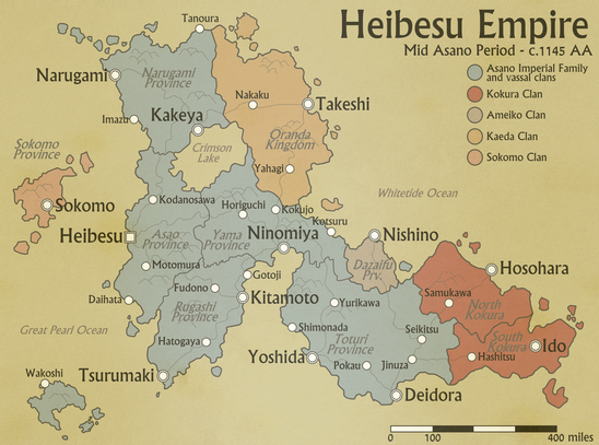
Finally, here's a map from Japanese-themed Akavir! This is a more or less original design, I wanted to make a bilingual map and also see how Japanese works to create slightly different labelling. I find it works quite well ![]()
Anyway, let's move on a few other maps that have nothing to do with the TES universe but that I'm still proud of ^^

I thought I lost this map, but I actually found it back ![]() 1950 style bus map, though this one comes from another CJ. I've lost the pictures that went with it, sadly
1950 style bus map, though this one comes from another CJ. I've lost the pictures that went with it, sadly ![]()
Here's a map I worked on for a d20 Pathfinder setting. I cannot find the Japanese version, which has more stylized labels.
Anyway, that's all for now! For everyone who asks, I use Inkscape which you can find free of charge here and it's always been excellent. It's easy to use too and you can find tutorials pretty much everywhere. If you're serious about making maps or graphic design, Adobe Illustrator is another very good tool - but it's also very pricy. :/
Oh and if you want to see more transit maps, why don't you check the amazing (sort of) official map repositary here on Simtropolis or Cameron Booth's excellent transit map related blog?
I hope this was interesting, and see you soon back in Cathnoquey! ![]()
PS - Do not distribute my maps or use them for commercial purposes without my explicit permission.
-
 9
9

15 Comments
Recommended Comments
Sign In or register to comment...
To comment in reply, you must be a community member
Sign In
Already have an account? Sign in here.
Sign In NowCreate an Account
Sign up to join our friendly community. It's easy!
Register a New Account