


Greater Leeds Transit - Part 3

This 3rd and final part of Greater Leeds Transit follows one of the highway routes from the Southern agricultural surrounds of the city, North into the outer fringes of the city and into the heart of the city itself. This is only one of a number of routes into/out of the city, if you're interested in getting an idea of the other routes, check Greater Leeds Transit - Part 2 and look at the transit map.
If you like this post, or any others, please rate, comment or click the +1. Thanks again for viewing, the next post is going to be some of my favourite residential areas throughout Greater Leeds.
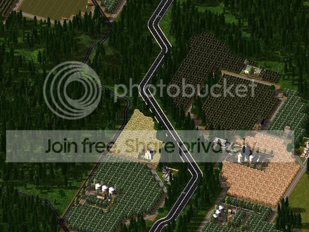
The Adellais - Leeds Highway was first built before any agriculture developed around it, although it has been upgraded since then. It appears to cut through the surrounding farms.
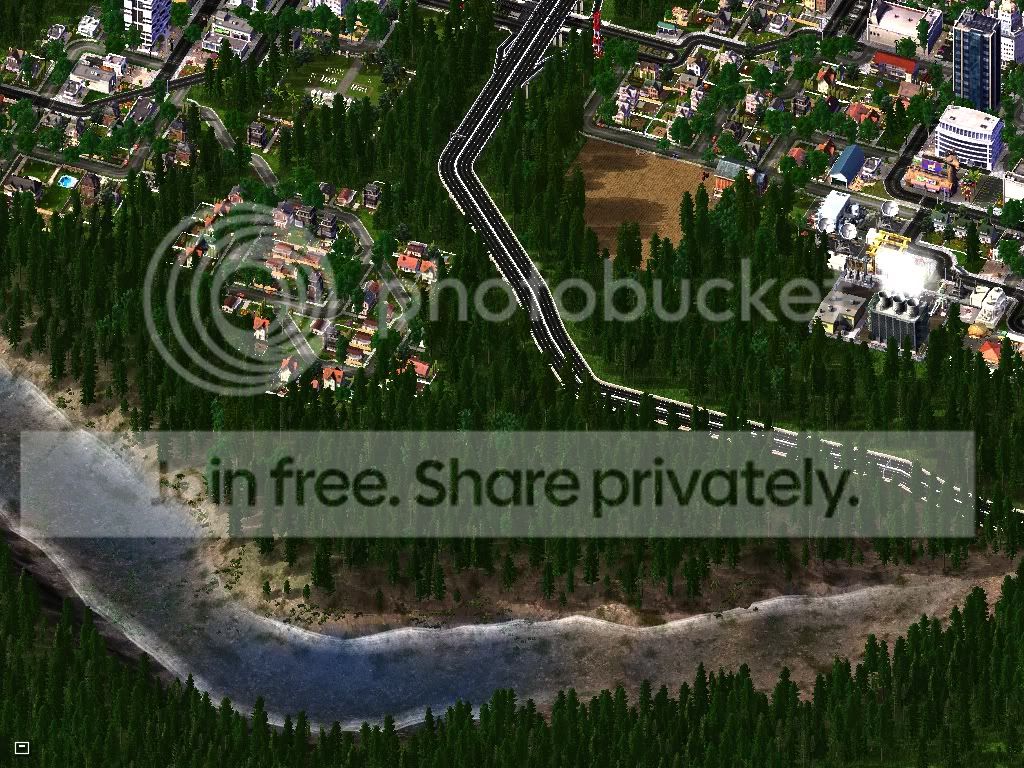
Because Leeds is surrounded by national parks, rivers and mountains, the suburbs begin quite abruptly and quickly progress into more densely populated areas.
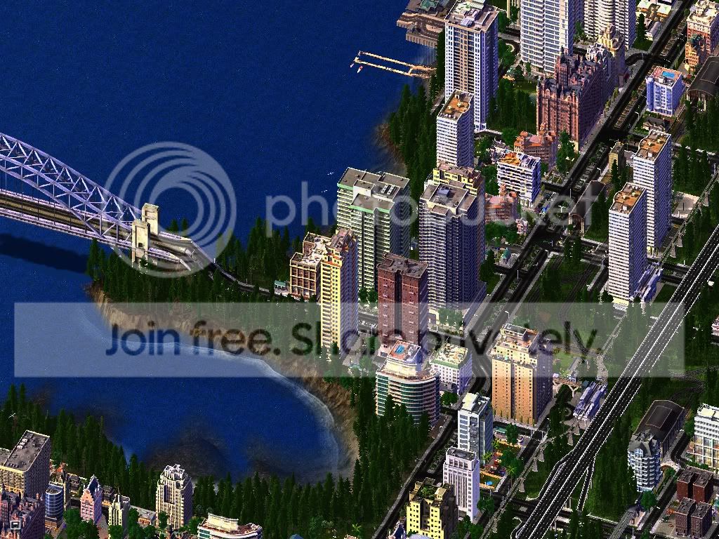
If you continue along the highway, very soon you will be close to the heart of the city. Many commuters leave the highway here to cross over to the CBD on the Leeds Harbour bridge.
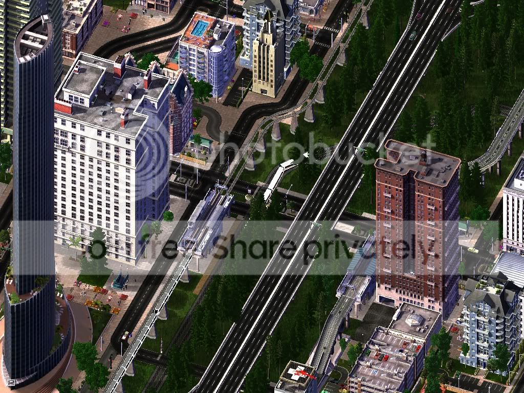
The Highway is essential to the entire transport, particularly on the Eastern shore of Leeds Harbour where up to 80,000 people live in highrises.
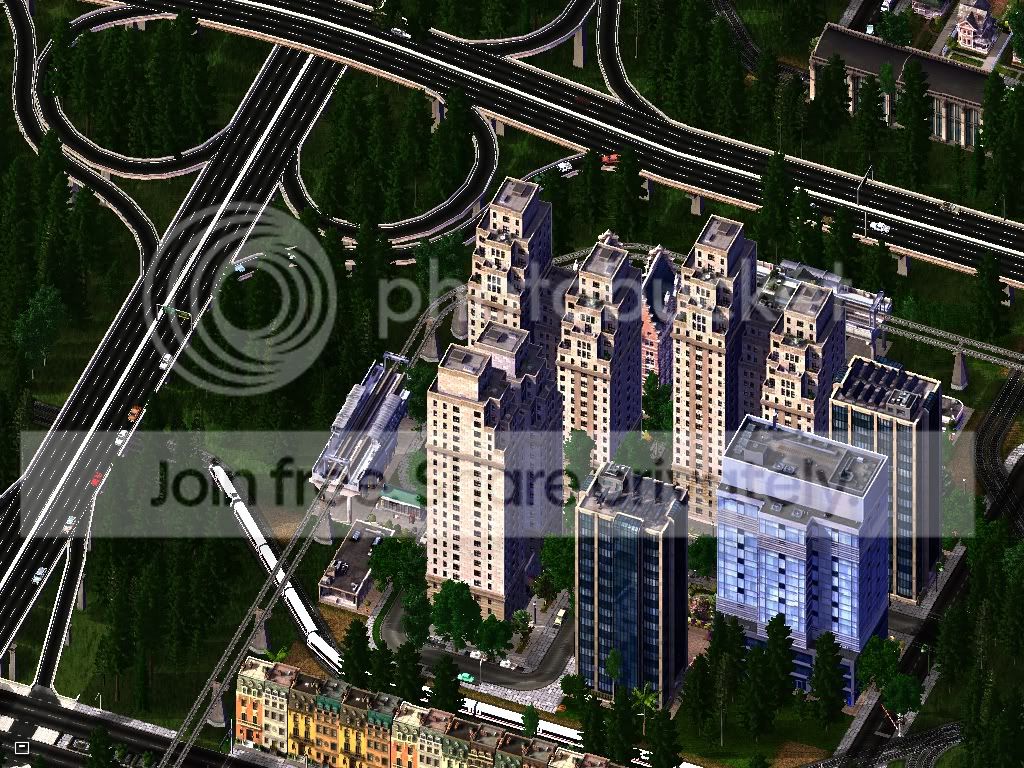
A number of new densely populated residential and commercial areas have sprung up around the Highway system, this is just one example.
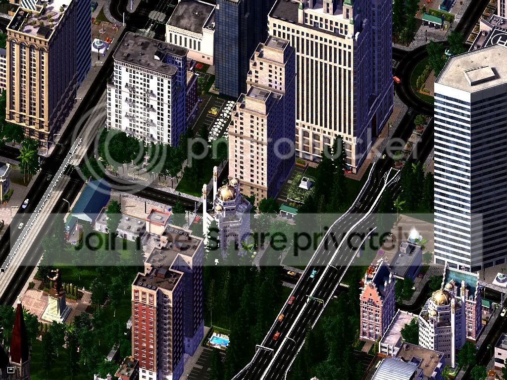
Finally, the highway leads into the CBD, this is probably the most used transport method into the city.
-
 1
1


8 Comments
Recommended Comments
Sign In or register to comment...
To comment in reply, you must be a community member
Sign In
Already have an account? Sign in here.
Sign In NowCreate an Account
Sign up to join our friendly community. It's easy!
Register a New Account