

Cleaner475 150


By
Need4Camaro, in SC4 City Journals
Hi
your concept sound quite interesting but also difficult I hope that you have no problems with the realization of this project
Good Luck!!!!

This is extremely well done. I've never managed to make a region or city of mine feel that realistic. I don't care if I had to live for a while in a SimCardboard box, I definitely want to try my hand at helping develop this. Where/when/how do we learn who has how many points? Have you figured out an easy way to keep track of all the information?(you may have a lot of people)
I can't wait for more!

This looks pretty darn awesome, I'm glad you finally started and can't wait for more! One question though; how do you take snapshots during UDI mode? I've never figured it out...
Keep calm and take photographs.
Deviant Art Page | The Railfans of Simtropolis | YouTube Channel | Flickr
Yoshiisland; Hold down Ctrl + ALT + S i think
My STEX Projects: Cleaner's Creation Center vvvvvv My CJ's: Valencia (coming soon) | Espra |

Finally! Its finally been started. I had given up hope...
yoshiisland: its ctrl + shift + s
need4camaro: a few small tips:
turn off zots with ctrl + x then typing tastzots
when taking pics, zoom in all the way and take larger images, so that u get larger images in the post. i dont like linking to images, cuz it gets annoying with long posts.
great CJ idea. looks like theres a lot of poor people in that city though. and when do we figure out how many points we have?

Awesome start!

nice; interesting and great pics...you have a very nice beginning there!
Good luck my friend!
This is realistic, the interactive part will be great with this city.

great start and intro very nice and interesting so fat great pics too my friend
cleaner475 - Thanks, and they're coming up...
ObladiOblada - Thanks - Yes it is difficult and I'm always in search of help as this happened to be a much more massive project than I thought, but I should be okay for now....
iamihop11 - Thank you! I used erroded hills for the mountain affects and used a slope / tunnel mod for the roads to have more realistic inclines / cliffs / ledges... and plopped trees around the developed areas on the mountains... For the farms, in the great plains, farms are large and take tremendous amounts of acre's. I used winding roads and railroads to complete the equation. I am keeping track of everyone's score on a spreadsheet generated by Microsoft Excel. You will be seeing everyones beggining score in this upcoming update.
Yoshiisland - Thank you, It took awhile to get started because of computer issues that I now have halfway resolved. As for taking snapshots in UDI mode, I minimized the keyboard help bar and pressed "Print Screen" on the top right corner of the keyboard, SC4K doesn't allow you to take snapshots (even with Ctrl, Shift, S) while in UDI mode... When you press print screen on any windows system, it copies the entire image you see on your monitor, then go to an imaging program and press "Ctrl V" or Paste... and that image will appear.
2nerdy4u - Don't give up hope in me.... I stated before that this project would take on the course of months to years, it's not going to be a plop up 1,000,000 population city in 2 weeks. Be patient, everything follows there after and the results I can assure you will be worth it...
Thanks for the tips however, I'll be using those on the next update.
rct3twins - Thanks...
Sim_Air - Trust me, I'll need it.
Critterman - I try my best to keep it looking as realistic as possible...
jacqulina - Thanks... Story Mode will of course evolve also as the city evolves and even our decisions will have impact on story mode...
Alright, Lets get down to Business
____________________________
Update 2 !
As you have all been wondering for your development into this region, there will be three ways to accomplish this...
#1 - In either Story View or Simtropolis View you see a business, home, or industry, or even complex, subdivision... anything it doesn't matter - you desire to purchase, copy the picture, circle the area you want to purchase with an imaging program, email it back to me at camaro943400@yahoo.com and make SURE your subject has Simtropolis somewere in it or it might risk deletion. I will tell you the points cost and verify if you desire to proceed with the deal aswell as showing the area you may purchase in the next update
#2 - I host a Sale and advertise an area or business for sell... Or I request a business or utility to be built and hosted by an ST Member... For instance I could definately use some more efficient and realistic Coal Power plants... It should only take one plant to power as much as 200,000 people...However it must definately remain realistic in the aspect that it pollutes.
#3 - You select a Parcel of land from the Region in which I'm about to post - When that is done, on the next update I will zoom into that Parcel and insert a grid system in which you can select lets say (A:5) ... When you do this we will set up a file transfer method and I will give you as much as three pictures as to what the A:5 vincinity looks like and you can choose to either biuld on that parcel or purchase from that parcel.
As for the Grid - I wasn't able to get an entire region shot simply for the fact, I don't know how (Ctrl Shft S doesn't work in the region view), so I divided the region into 4 images featuring 4 areas below... Each Parcel represents a city and like I stated before, when you select a Parcel, the next update will include a view of the city with a grid system... From there you select a grid and I will file transfer the pictures personally to you.
Here is the Grid System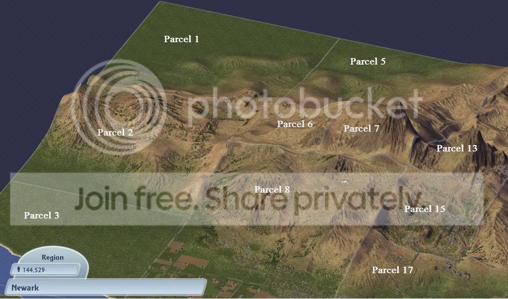
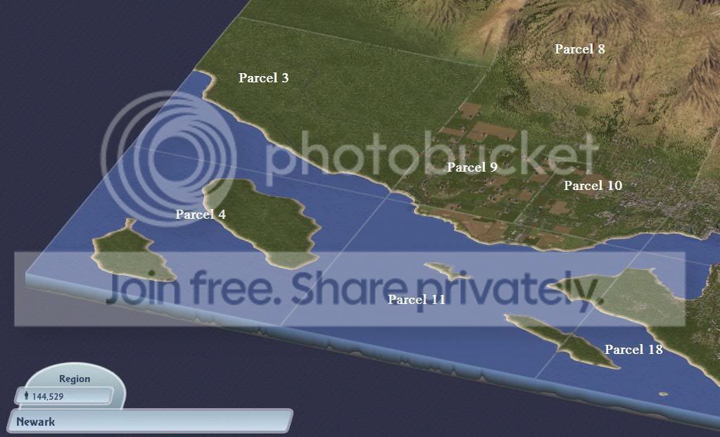
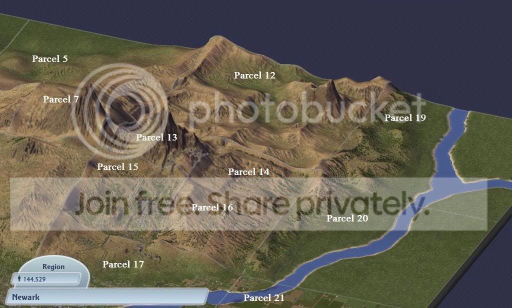
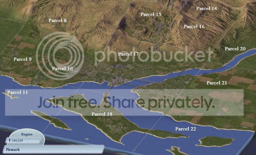
Simtropolis View
Welcome to the Newark Region where the name of the island is also the name of it's largest city, and capital. Newark was founded in 1965 as a military garrison to invade Iraq and was strictly going to remain this way until the discovery of abundant natural resources reached mainland. When the circulation of funds between industries convinced the government to allow them entry into this Fort, Newarks destiny was forever changed. Industries moved in first, and when workers are applied to an issolated area in the world, they must live nearby, thus houses were biult. Of course when commerce see's the opportunity to please consumers, they biuld their shops. Soon Newark became very state-like and a transportation system was biult to accomidate it. Their largest accomplishment was founded in 1999 by the completetion of the East / West connector which has 13 Exits and is a partial Limited Access Highway. Civilian life began to prosper in this fertile island, resources were mined, mostly coal, and produced into manufactured goods, or simply shipped to shore. By the year 2005 The Naval fleet had to move locations to avoid conflict with civilian beings as the city sprawled. Now on the North side of the island. The Navy base was converted into an industrial freight seaport to ship and recieve goods from mainland. Today it exists as the Newark Seaport which is just west of the mouth for the Oconee River... Servicing the Seaport are Rails that sprawl out from the city center to collect and distribute industrial goods. The rail system was implimented to alleviate truck traffic from the city center and to-date does a fairly decent job. Politically, Newark is prone to many Social Unrests as it's turning into a dawn of a new era. The U.S.A wants to purchase this territory and utilize it for it's Natural Resources however natives desire rights to the resources to distribute as they please. Many areas of the Newark region are uneducated and low income. The Blue Colar work force is dominant here as most white colar laborer's don't see any reason to become isolated on an Island filled with the soot of coal, surrounded by an uneducated populouse, and have to pay extra for health care due to lack of aquadate health facilities. Most health goods must be shipped in from mainland. Newarks police force is laughable aswell with the only police station being in downtown. Despite it's con's, Although Newark is far from a Tourist attraction, it maintains a beautiful downtown and still has fairly nice areas and a decent middle class, mostly residing in Eaton which is east of the Oconee River.
However, since man have biult here, they have also biult their flaws into here and if left untouched, they can grow to consume the creation they dearly pride in. It is up to us to watch over and correct the flaws of Newark as they present themselves. If this is not done, Newark will face a certain destruction of Political Unrest and it too, will subcumb to war.
Before we jump in and try to satisfy the demands of the growing populouse... Lets have a look around and see what we're dealing with... There's no better way to look around than using the transportation system, so we'll have a look at that first...
First being, the road map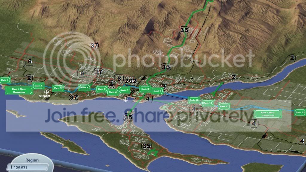
As you can see, Newarks Road System is loosely based off the U.S. Road System. Routes are numbered. Even Numbers go east / west and Odd Numbers go north / south. The farther North you are, the higher the East/West numbers are...and the Farther West you go, the Higher the North/South numbers are (unlike the U.S. which is the farther EAST you go.) Our first route we'll cover is the East / West Connector, which as stated before as a partial limited access highway which connects the farms on both the East and West to the Industries, Commerce, and Residents in the center of the city.
The East West Connector was completed in 2020 and serves 4 major Parcels of Newark. 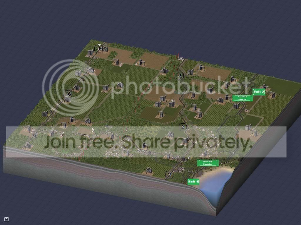
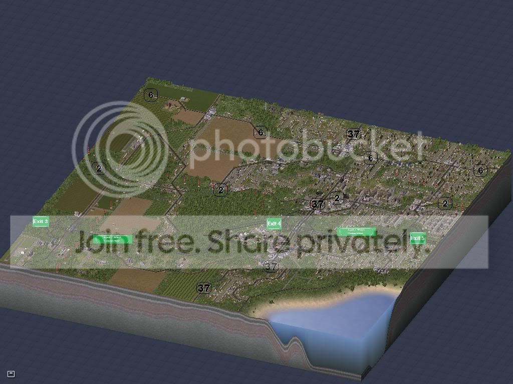
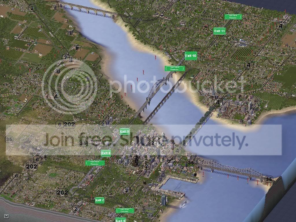
It begins in the western rural area with an At-Grade intersection with Highway 2 and Terminates into a Road on the eastern rural area.
It was constructed in effort to -
#1 Give commuters on Hwy 2 an alternate route of travel and high speed access.
#2 Connect commuters to quicker access to the rural farms
#3 Give Industry access to a limited access highway to transport goods to the seaport or distribute them to local commerce.
#4 Give the Airport Access to a quicker route into the city.
To this date it serves its purpose quite well.. Lets have a closer look at it...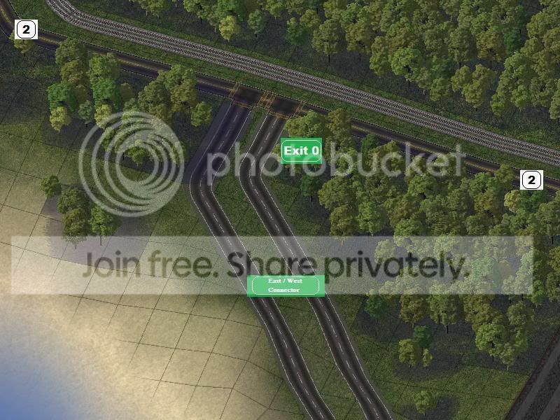
The beggining of the East / West Connector on the western end. Intersecting Hwy 2 with an At-Grade intersection.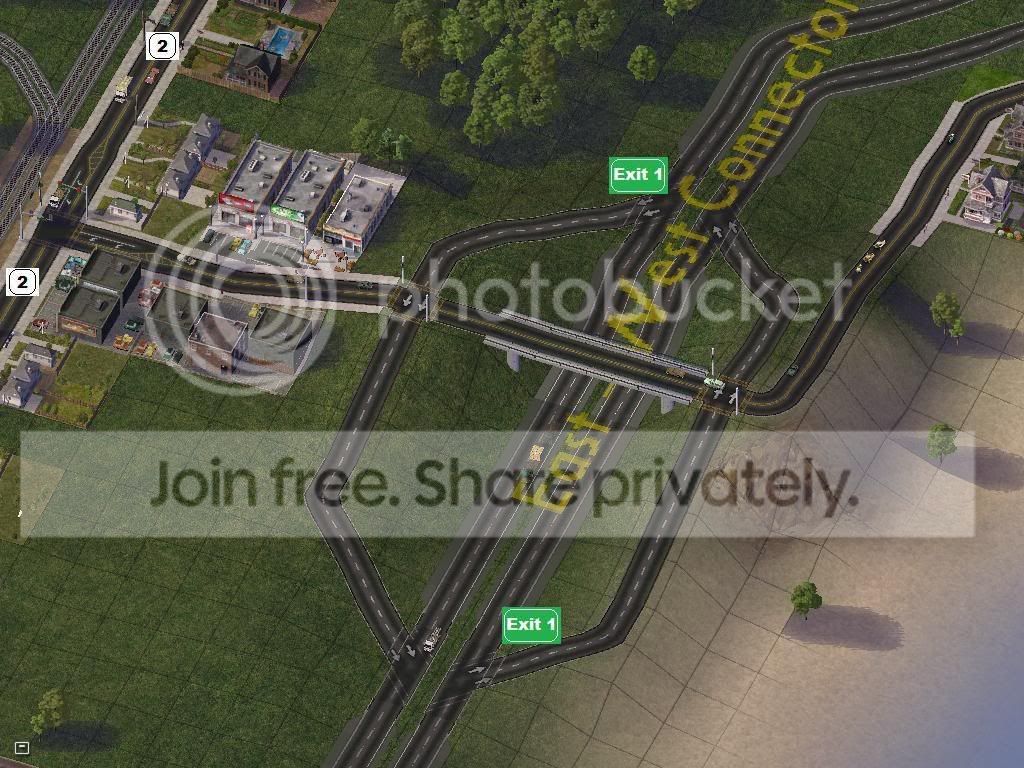
The first Exit taking you to the southern coast of Newark which is mostly scattered farms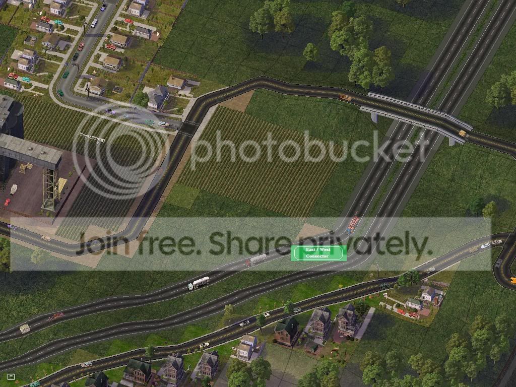
It continues South/East passing through the rural areas of Newark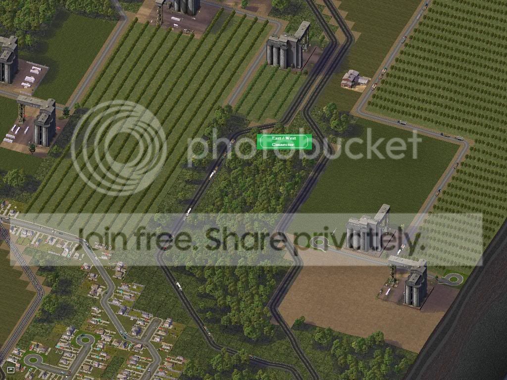
Has interstate-like islands providing forestry in the center of the highway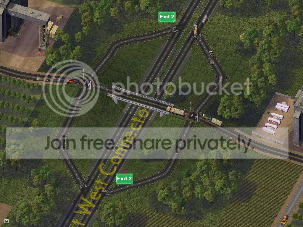
A bit further from Hwy 2 and the Coast, Exit 2 provides access to more rural indusries and farms.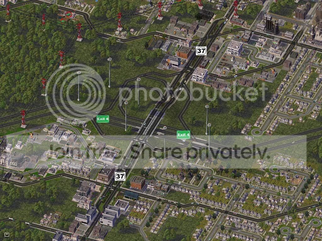
This one is clickable... After Exit 3 (which is for the Airport and we've already seen it in Soni's story) It passes through a complex interchange with Hwy 37 for a mall and several residents.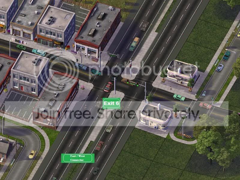
Exit 6 is the Second At-Grade-Intersection, with plans to turn this into a full interchange as being closer to the downtown area, traffic has escalated.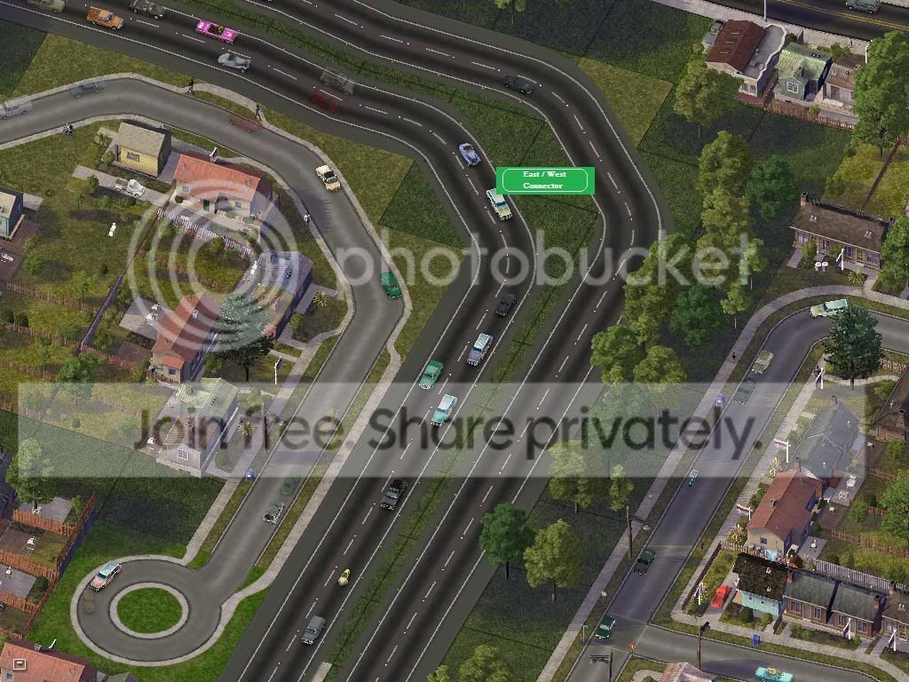
Continues through the western suburban populated area... As we can tell this is a fairly new portion, notice how it seems to cut through a residential area? These used to be houses.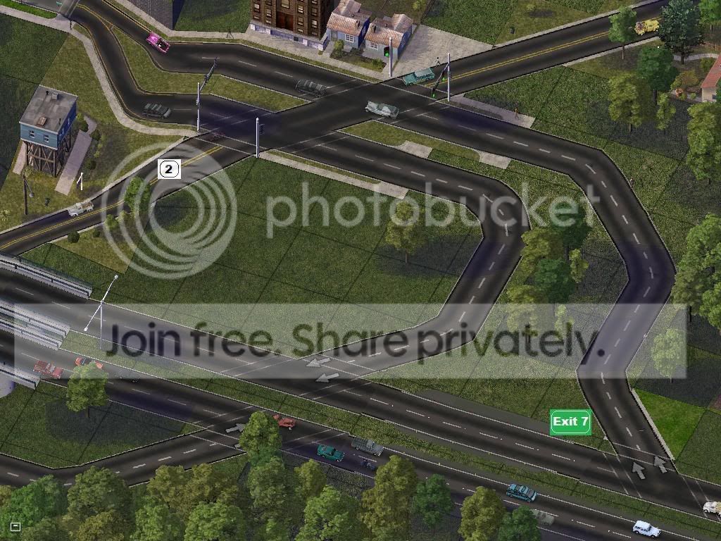
First half of Exit 7 where the East/West connector remeets Hwy 2... and also the old city bypass, Hwy 202 which is mostly obsolete now due to urban sprawl and the East West connector.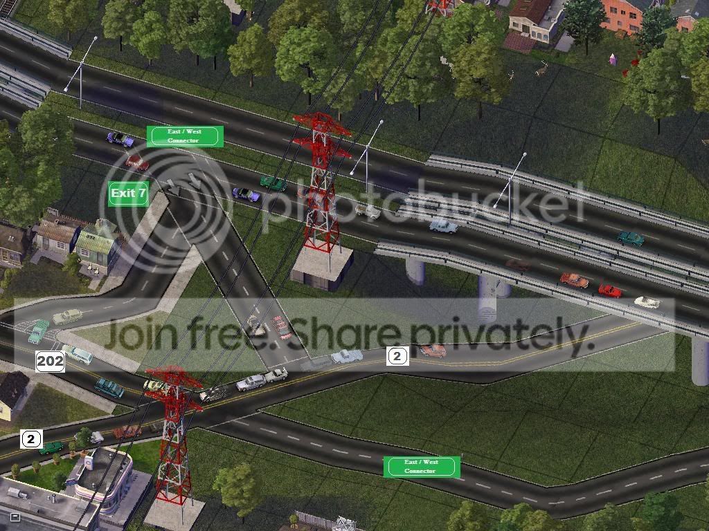
Second half of the Exit 7 Interchange, Notice the Westbound Lanes has an exit ramp seperately for Hwy 202? Hwy 202 terminates here at the interchange with Hwy 2 and The East / West Connector.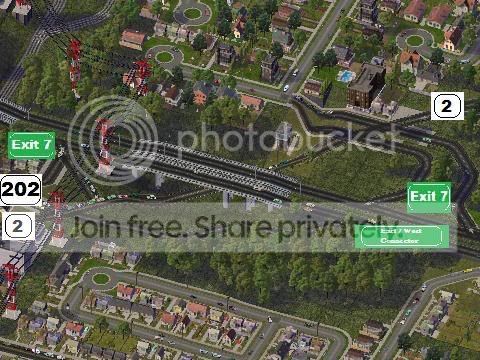
Overview Ariel Shot of Exit 7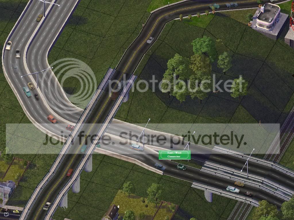
Shortly After Exit 7, The East/West connector passes over a freight railline, developes a center barrier and expands into a 3 lane freeway while passing under an overpass and proceeding Eastward to Downtown and the Oconee River...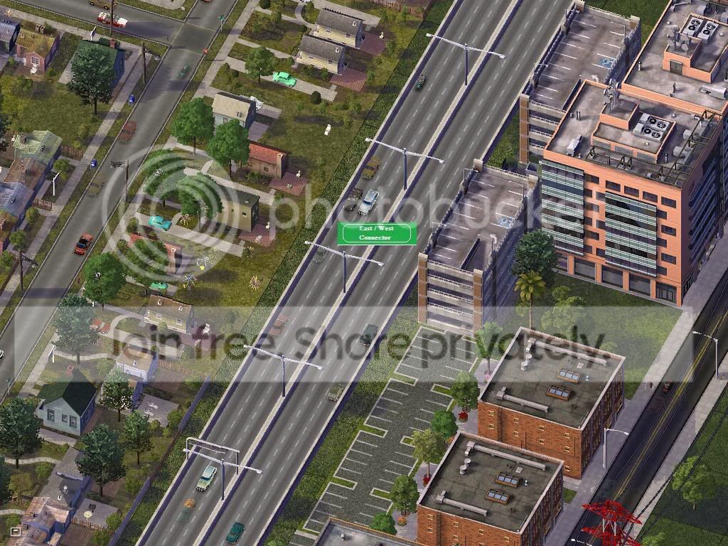
Just North West of dwntown, passing through a residential and Commerical district. Barriers are necessary since everything is so much more dense... The Highway also now possesses center mounted street lamps due to increased traffic during evening commutes.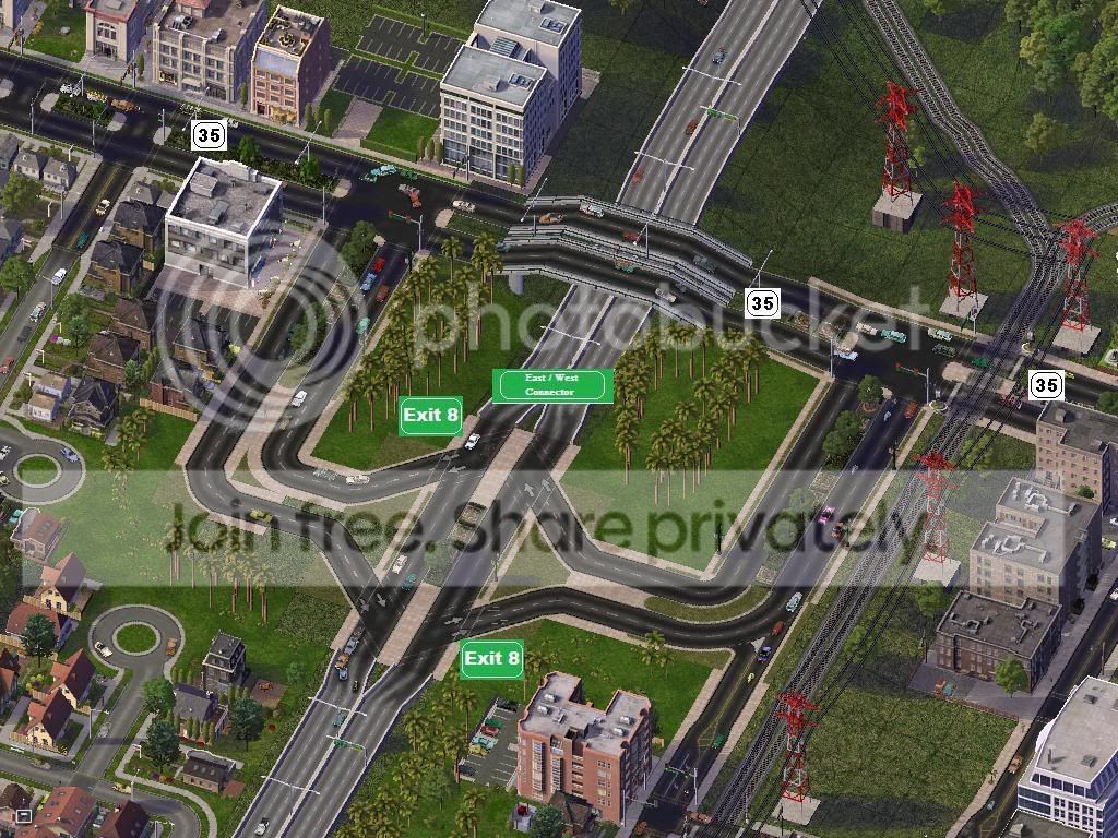
Exit 8 marks the Interchange between The E/W Connector and Hwy 35 (Not 36) Which takes you into the heart of Downtown, The Northern Coal Mines on the Mountains, and South Island.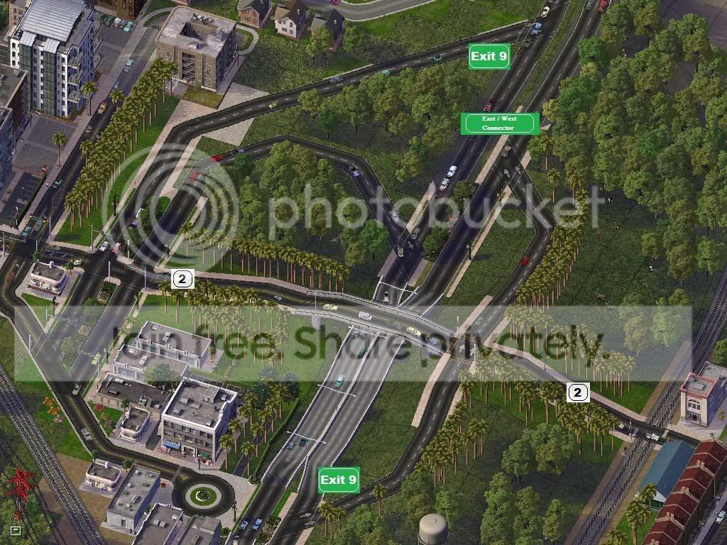
Shortly after an Overpass for the railroad tracks, Exit 9 gives the E/W Connector it's third and final Access to Hwy 2, Which takes you back into Downtown and NorthEast just south of the mountain range running parralell with the Oconee River.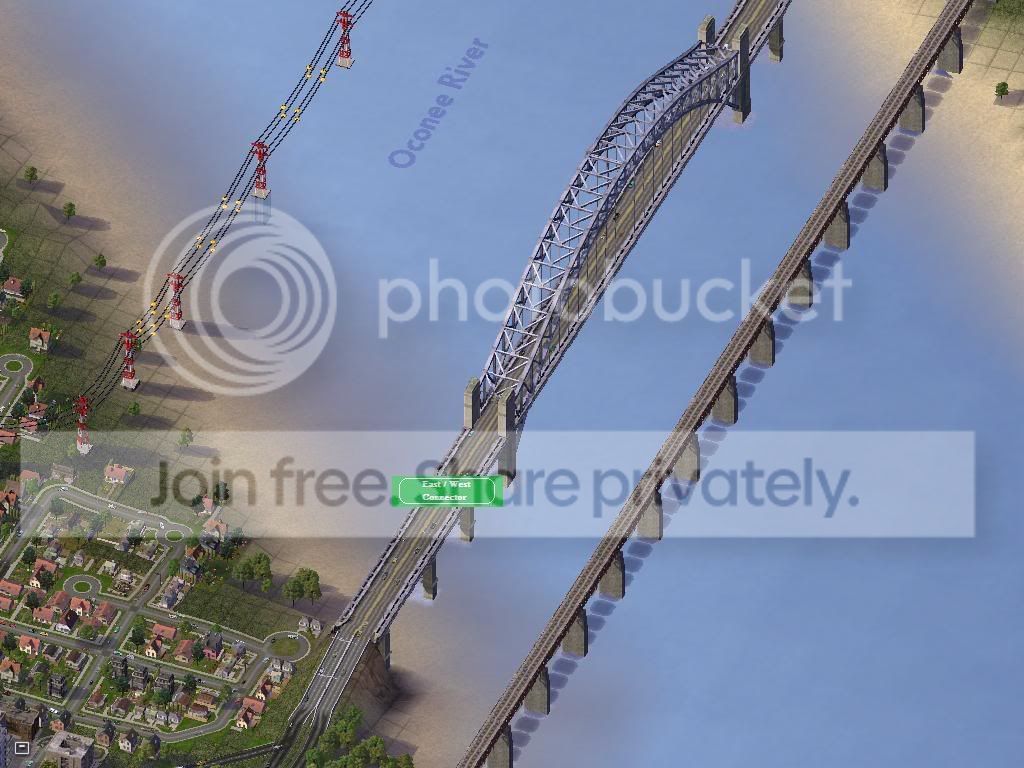
Just east of Exit 9, The E/W Connector proceeds over a bridge over the Oconee River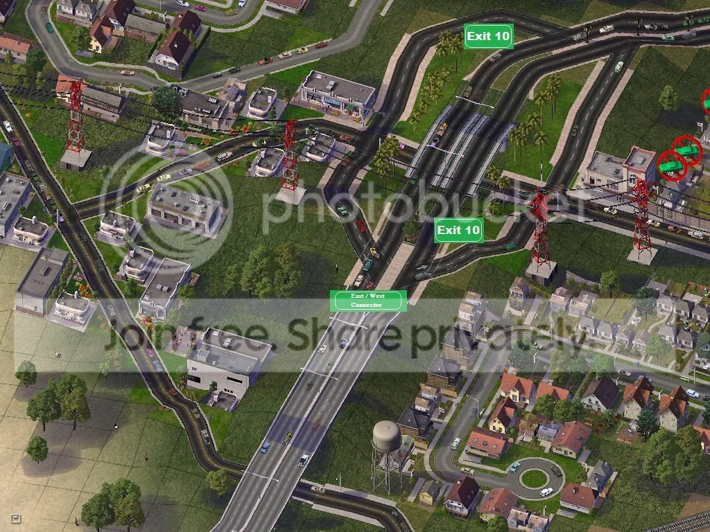
The E/W Connector descends from the bridge, having an overpass with Riverside Dr in Eaton, proceeding East into the middle class area and interchanging with Exit 10 which provides access to homes, riverside drive, and south of there - Hwy 4 which will take you into the denser area of Eaton.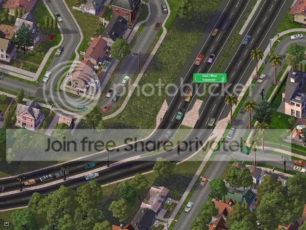
Proceeding South/East into the Residential Area, preparing for Exit 11 - This is also a new portion for the E/W connector which required the destruction and relocation of many subdivisions and homes. It was necessary however as before this Highway existed, commuters would have to proceed South to Highway 45 to cross the Oconee River and would only find themselves in a cluster jam of traffic of the center of Downtown Newark.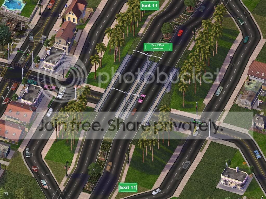
Exit 11 provides access to the Eastern communities in Eaton - From here the E/W Conn proceeds into the rural areas with no nore interchanges into Eaton... The exit ramps
have upgraded traffic lights...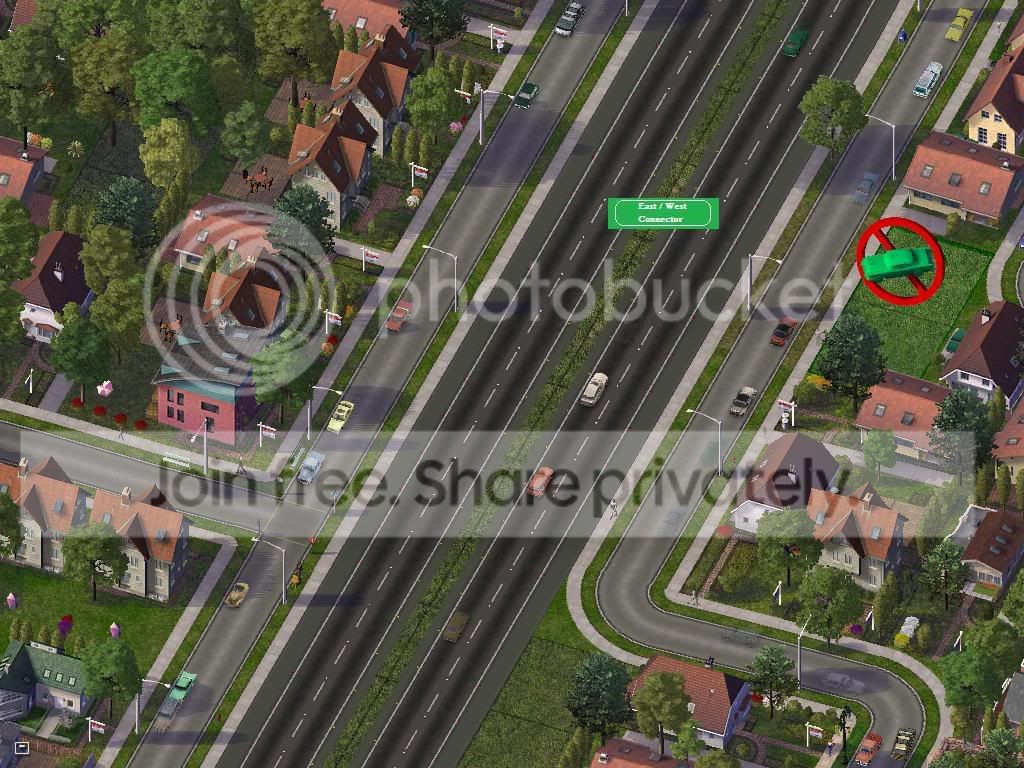
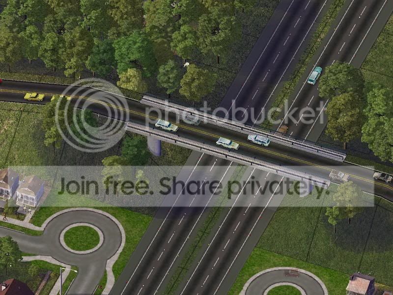
Both of these are clickable and show The E/W Connector proceeding East and out of Eaton and into the Milidgeville Area...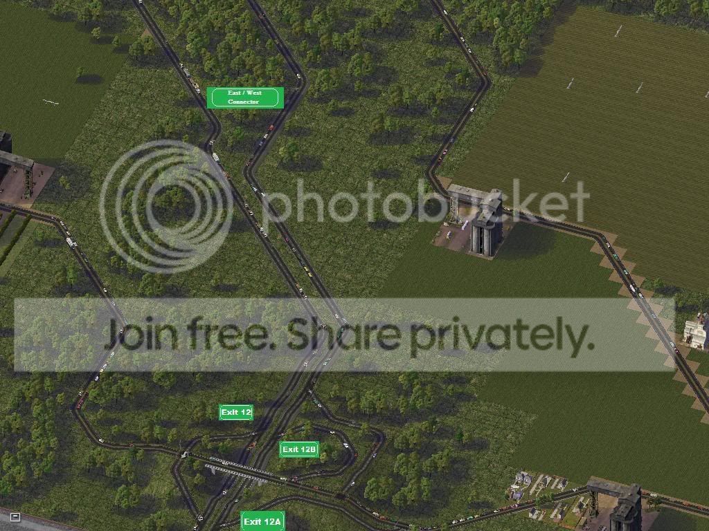
This one is also clickable, Showing the E/W Connector entering Millidgeville.. Exit 12 A Proceeds Southward into Hwy 4 and the railroad industrial areas.. and 12 B Proceeds North East into the farms that encompass wide acre's of Millidgeville... E/W Connector proceeds to develop islands in the center of the highway...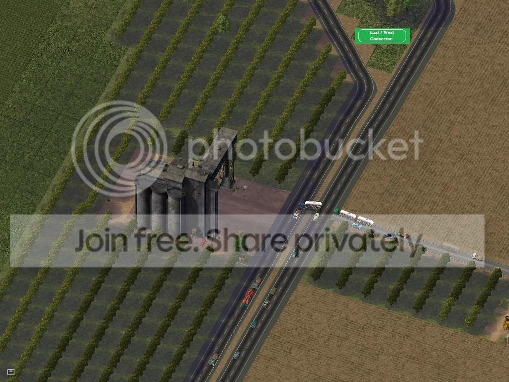
Another At-Grade intersection - making for the third - Also a Farming Plant located right off the expressway for easy access... traffic out here was light enough to permit it.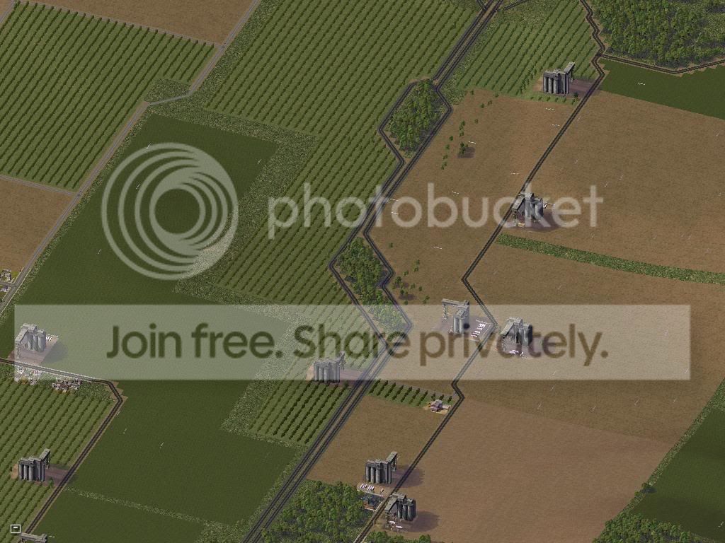
The E/W Connector proceeds East through the farms, occasionally making Islands in the median... In UDI mode... this is a VERY long drive...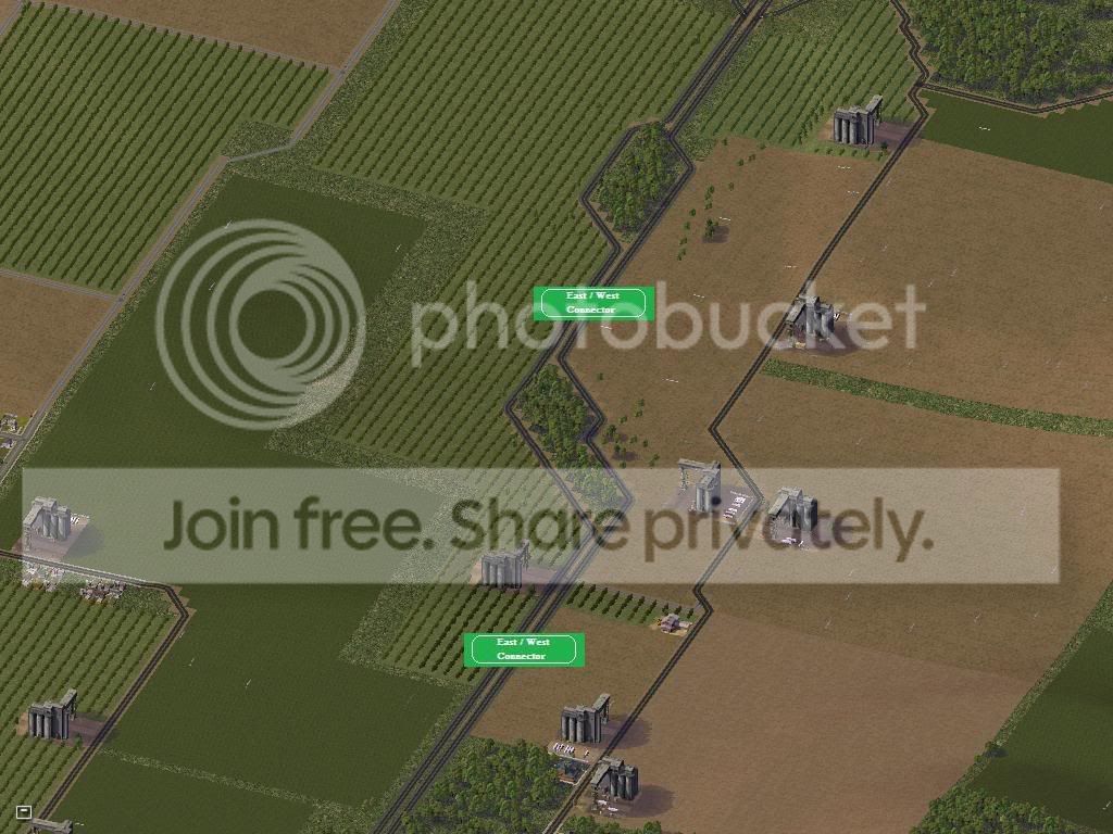
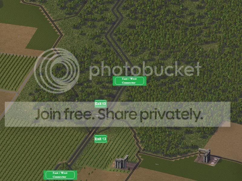
The final Interchange for the E/W Connector just before proceeding east into the forest to become an At-Grade road... This Road provides access to the Eastern Farms and Rural Industrial Areas to the South.
________________________________________________________________
For now, that is all - The next update will be in Story Mode... Remember this is your CJ as much as it is mine so if you have any suggestions, recomendations from those above pictures or just in general... feel free to post them.
Have a great day! 
Founder of Project Blue Hope - Join the Massive Multi-player Regions.

They look awesome, and a awesome region there - So I want to look at parcel 11 - so then you upload pics of it next update? is that right
anyway great update, loving the work here 
keep it up,
Richard
My STEX Projects: Cleaner's Creation Center vvvvvv My CJ's: Valencia (coming soon) | Espra |
I absolutely love your RHW it just screams USA! And I like how your downtown is small time for now.
You know, I actually really like your approach. Even years from now, I can still be able to look at this CJ, with thousands of people and sprawling buildings and think back to the late summer of 07, where it was just a small area going through a great deal. Good times, good times...
Anyway, like cleaner475 said great update, loving the work here, keep it up!
-Yoshiisland
Keep calm and take photographs.
Deviant Art Page | The Railfans of Simtropolis | YouTube Channel | Flickr
those are amazing pics! you have done a great job there; you won't need luck lol, just joy! anyway, i especially love the way you design the avenue, very realistic i have to say. Keep it up!

Sweet, it's finnaly out! You've got a good start there, keep it up.
cleaner475 - Yes - It would be posted on the very next update - are you interested in seeing Parcel 11? If you are, should get it while it's still cheap as South Island is developing rapidly and the land values on the islands are generally almost always higher than inland...
Yoshiisland - Thank you, I based the RHW system much on the way the Freeways in Georgia are biult.. Alot like GA400 (which isn't interstate but has alot of interesting interchanges) and I-85 ( which has alot of Islands in the center of the highway when you get out into the rural areas...Currently the Commerce sector of Downtown is very small, most of the biuldings you see are actually residential... I'll show when we cover that update...
Sim_Air - Thanks, you'll see more don't worry...
ODST_27 - Thank you...
___________________________________________________
UPDATE 2.5 - Mini Update!!!
I completely forgot to include the points system in the second update to let you know how many points everyone had... Also from this Post onward, I will begin adding points per post.
Name Points 2nerdy4u
50
Almighty Nienaber50
Amerikaner50
autoVino50
Benedict50
cleaner47550
Cjah50
Cowboy[Texas]50
Critterman50
Dr Lezard50
granto9350
iamihop1130
jacqulina50
jimmyCo50
Krio50
manman9950
mencc170150
MsD50
ObladiOblada50
ODST_2750
PennDOTguy50
PhatHead50
rct3twins30
SaltandVinegar50
Sim_Air30
Simfan3450
sobol50
Yoshiisland50
Also the points will be included on their own seperate updates to prevent confusion down the road...
As I stated in the post prior to this city journal... Everyone who replied to the post in "I'm thinking of starting an Interactive City Journal" begins with 50 Points... everyone who replied with this post begins with a standard of 30... ..enjoy...
Founder of Project Blue Hope - Join the Massive Multi-player Regions.
ahh..i am still 30 lol; anyway; i hope i will ee something, some city pics perhaps...hmmm
OOOPs I missed the second update! Your storyline is great and i also love your pictures.
keep on working on this project!!!!!!
It is cool!
loving the cornfeilds very much!, the realism is shown! cant wait to see more!
That tour of the East-West connector makes me feel like driving around a while. I'd love to see the downtown area as it stands. I've decided I want to live on the banks of the Oconee.
great storyline...a tad-bit long, though...but k.i.u....(keep it up...)
Woo hoo!! 50 points, me and about 10 other people lol. Anyways, glad to know my place in this interactive CJ, I hope to be a big part of it!
-Yoshiisland
P.S. You're very organized. I like that!
Keep calm and take photographs.
Deviant Art Page | The Railfans of Simtropolis | YouTube Channel | Flickr
Amazing so far! Just a few things, get rid of the zots and the grid. It will make your pictures even more wonderful.
Sim_Air - City pictures are on there way on both Story and Simtropolis Mode... I just wanted to get a feel for things before we jumped into the eye candy...
ObladiOblada - Thank you!
homeandaway - I based the agriculture system much like the fields you would find in Indiana / lace w:st="on">Southern Illinoise lace>, and The Great Plains...You have been added to the score system and will begin with a score of 30...
iamihop11 - The lace w:st="on">lacename w:st="on">Oconeelacename> lacetype w:st="on">Riverlacetype>lace> passes through 4 Parcels, Parcel 17,19, 20 and 21... I need to know which Parcel you're interested in purchasing property... the further away from the city, the less points it will cost... and I'll also need to know if you plan on providing your own house or let SC4 build it...The East / West connector is based on several freeways in the Georgia - none of them carry an interstate shield... GA 400,
lace> 10. yoshikoroyimara - Thanks, and the longer the better as it keeps our readers busy and entertained... You have been added to the score system and will begin with a score of 30...
Yoshiisland - Thank you and I hope so too... I haven’t forgotten about your university btw and I intend on holding a meeting in which we can all submit design plans for the university, or at least vote on a particular plan... and then we will vote on where it should be biult... and afterward... construction will initiate...
Tommy_Vercetti3 - Thank you and there will be no zots or grid from here on...You have been added to the score system and will begin with a score of 30...
Alright lets get started!>>
______________________________
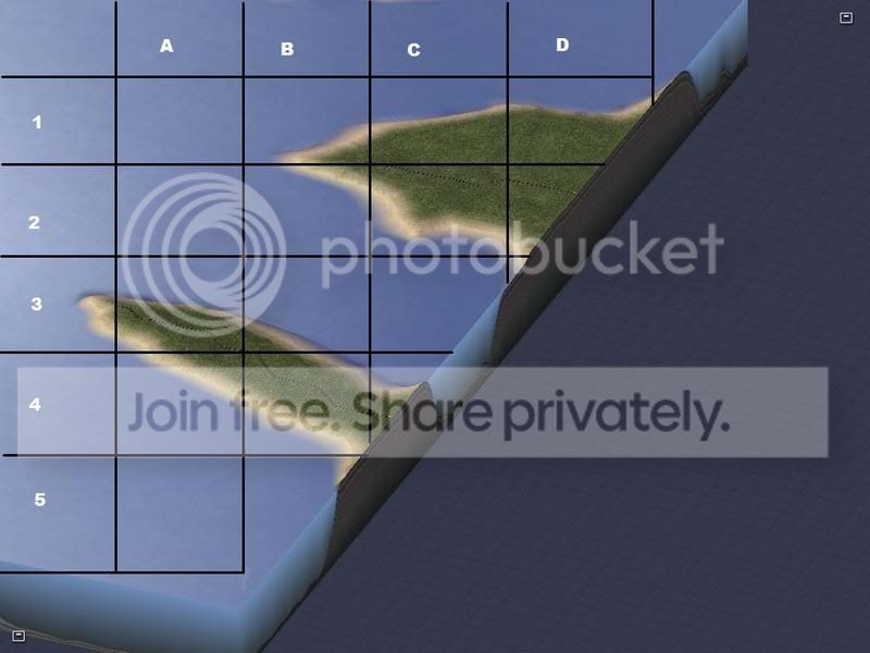
First thing's first - I believe cleaner475 was interested in viewing Parcel 11 so lets get some aerial / grid shots of that up!
Parcel 11 Overview
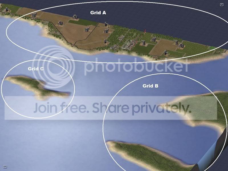
Choose a selection from the following Grids, when you reply, PLEASE comply with the following format "Parcel 11 Grid (Letter) / (X-Y)
| Parcel 11 Grid A | Parcel 11 Grid B | Parcel 11 Grid C |
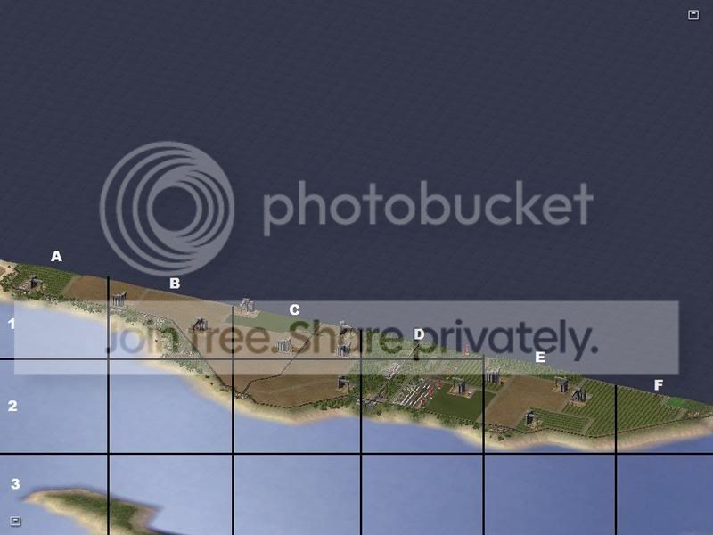 |
 |
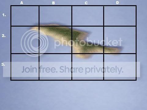 |
If anyone else is interested in this Parcel, feel free to tell me what grid... just make SURE you refer to WHICH Grid you chose from... Your reply should be in the format "I'm interested in Parcel 11 Grid B / C1"
As for you iamihop11 - refer to the Region pictures shown in Update 2 to choose which Parcel along the Oconee you're interested in and I'll get pictures up immediately...
Now - on with the show...
UPDATE 3! - Story Mode
____________________________________________
Not long after Soni departed from the Taxi, he was greeted by a taller mature figure. His face was wrinkled yet his age looked to be in his late 40's - he had a pipe in his mouth and Navy hat that was turned backwards revealing its American flag above his forehead. White long beard and white mustache as well as eyebrows. he stood with a stance of authority confirming Soni's approach...
Soni: Cornell ! --Soni Salutes--
Cornell: Please, none of that flattery, we're not on American soil - yet...
Soni: Why was I called to this island, and better question... how was this place kept such a secret? It's a relatively decent sized town...
Cornell: I'll answer all of your questions but I'm short on time... I'm due in lace w:st="on">lacename w:st="on">Northlacename> lacetype w:st="on">Harborlacetype>lace> in an hour - lets get you to your residence...
Soni: --Nods in agreement while walking towards the Cornell's car--
Cornell: The Taxi took the expressway didn't he?
Soni: Yes.. This place was a lot more developed than I imagined...
Cornell: Developed it has been for some time now - However, friendly is a different story... -- opening the door to his car--
--Soni enters the car as well - within moments their seatbelts are loaded and the 198,000 mile motor is cranked –
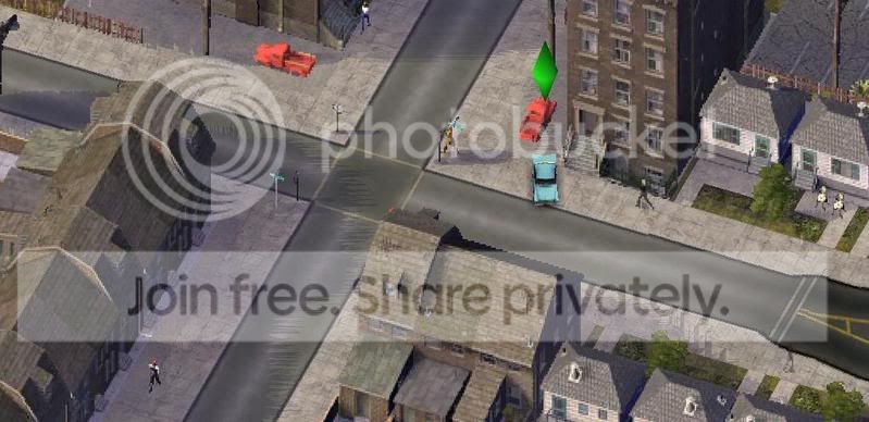
--They pulled out of the drive of the apartment complex - and onto the street in which Soni left - performing a left turn at the next light –
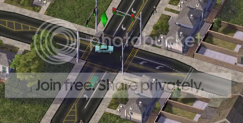
Soni - What exactly is this place and why was it kept so quiet until we were needed? and why are we needed?
Cornell - The land you see before you as you already know is by the code name "BlueHope" - it is a government funded facility to maintain a stronghold against the middle east and the resources within this island.
Soni - Government funded, With all due respect sir... you don't even have a military station or a decent vehicle...
-- They proceeded to the next light in which Soni took the presence of fast food restaurants, stores, and fuel stations cattycornered to the intersection... This was Hwy 2 in which they proceeded upon making a right turn.. –>>
Cornell - Which brings you back to why this project was kept such a secret. It is a low budget funded mission to protect the city and it's inhabitants under Martial Law... The higher the budget, the more the public wonders what's happening to their tax dollars.. The objective is to turn "Blue Hope" into a 51st state within this decade with minimum public opposition as we severely need this territory - and the best way to eliminate public opposition is to eliminate the public altogether.
Soni - If I understand correctly, this island has the resources to propel our country for quite a lengthy time period - why would the American public oppose of it?
-- The Cornell sighed --
Cornell - No... Not the American Public, but the residents of lace w:st="on">Newarklace> and Eaton... The residents of the island we're trying to purchase...
--They proceeded Eastward down Hwy 2 crossing under a set of High Tension Power lines—
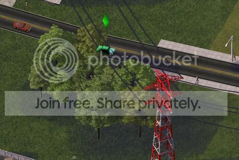
Soni - I'm confused...
Cornell - Newark and Eaton is built upon a populous of refugee's and convicts and a great sum of them are Anti-American - The political crisis became so deadly that they threatened to burn the entire city of Newark to ashes - This cause is the reason we "peacefully" moved the military base into the Northern shores of Newark and away from the populous. For now the deal is set - we stay on our side of the island and leave Newark alone and we will be free to do whatever we want to the lace w:st="on">Middle Eastlace>... However, the political rebellions only turned upon each other and as recons we were forced to silently infiltrate the city with the intention of restoring peace. The only problem is, no one can know we're U.S. military - yet or surely our chances of purchasing lace w:st="on">Newarklace> will be shot down...
Soni - So that’s why I'm here huh? to silently infiltrate lace w:st="on">Newarklace>?
Cornell - Yes - you will have the appearance and attitude of a Blue Collar Working civilian and we will refer you to the employments of our choosing until further orders are instructed. You will also keep a sharp eye for a certain few refugee's but first we need to get you settled in.
-- They proceeded down Hwy 2 - entering an Industrial / Commercial sector based off the railroad –>>
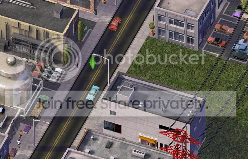
Soni - I still don't quite understand however... If the political debates are only amongst themselves, and we only want their resources, why do we need to get involved? And what was this about American Tax Money that was a bad thing for the American public if they're getting resources?
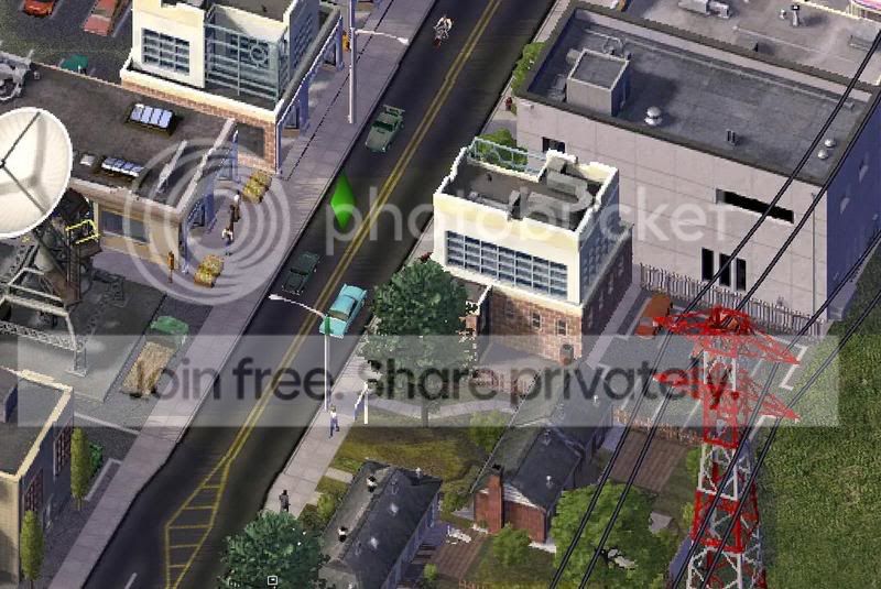
Cornell - The lace w:st="on">lacetype w:st="on">islandlacetype> of lacename w:st="on">Newarklacename>lace> has no established government and thus is a free power which is dictated by the economy of the workforce... It's not that easy you see, the Industries based on this island are American based and the populous here is only accepting it for the time being because it is the only source of Income for the moment. These Industries have rights to the resources, if they are destroyed so will be any chance of attaining these resources... Thus if the populous destroys themselves, the economy on this island will crash, and soon after it, so will ours..
Soni - and about the Tax Dollars?
--They soon passed Hwy 202 and the combined interchange with the East/West Connector—>>
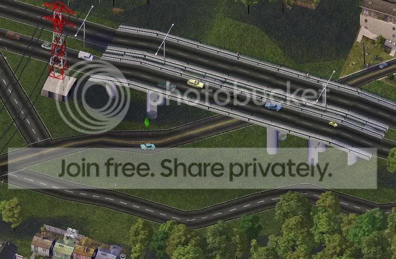
Cornell - American Tax Dollars - Everyone in the world knows on what and how we spend our money. If funds become to dramatic then China and the lace w:st="on">Middle Eastlace> will quickly find out. If they find out this island has resources of this quantity... they will un doubtfully strike to take possession of it...
Soni - That’s absurd! Taking over our land just because we have something they don't!
Cornell - --Just begins chuckling-- Funny, is it really so different from what we did to lace w:st="on">the middle east?lace>
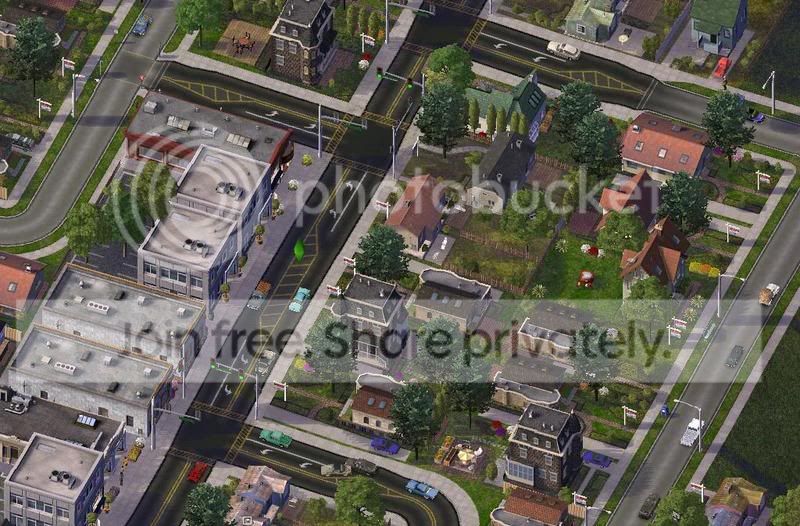
Soni - I suppose not...
Cornell - Besides this isn't exactly our land - yet... We have to wait until we're ready to purchase and we can only do that when we begin to see reasonable peace on this island and a steady resource quota.
Soni - So thats why I've never heard of this place until almost my departure date huh? Classified to keep the public and our enemies from knowing what we're doing here?
-- Soon they arrived at an Railroad overpass and proceeded about crossing it... --
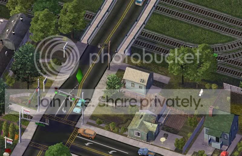
Cornell - The only way two can keep a secret is if one of them is dead...
Soni - Rest assure Cornell, that won't be a problem with me.
-- As they proceeded about crossing the bridge, Soni looked to his right to see an empty field of railroad tracks jetisoning into the Seaports which were banked upon the harbor. Soon the crossed a street which led down into the concrete mixmaster of the seaport..--
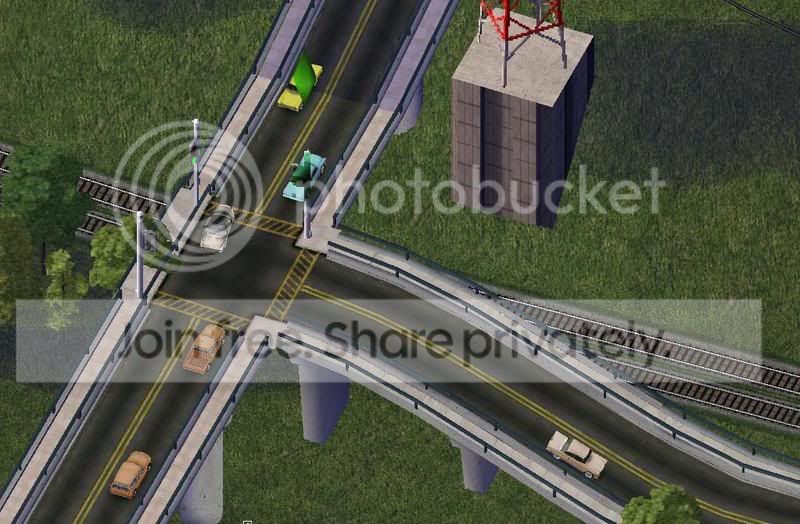
-- Soon Soni saw biuldings raising into the sky, he knew what this meant....--
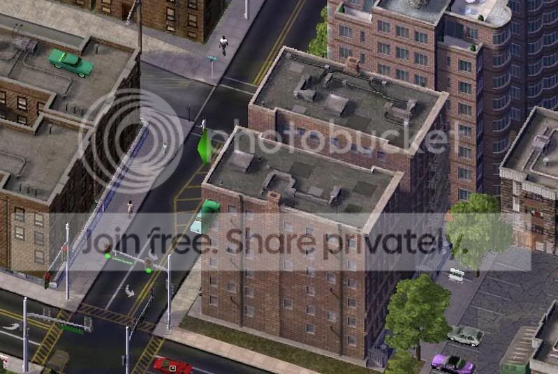
Soni - Are we in downtown?
Cornell - Yes on the outskirts of it...
Soni - Where are we going anyay?
--Soni's head kept looking left and right instinctively to capture the new sights, it wasn't very foreign to him at all--
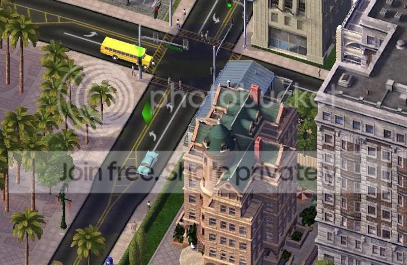
Cornell: To take you to your new station - You'e going to be in East Milidgeville, don't worry we sitll have plenty a drive ahead of us.
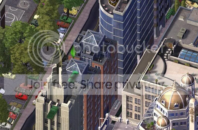
--Soni continued to look around as the Cornel drove...--
Soni - So who owns the downtown Market?
Cornell - The downtown Market is owned primarily by banks and businesses who control the Industries north of us.
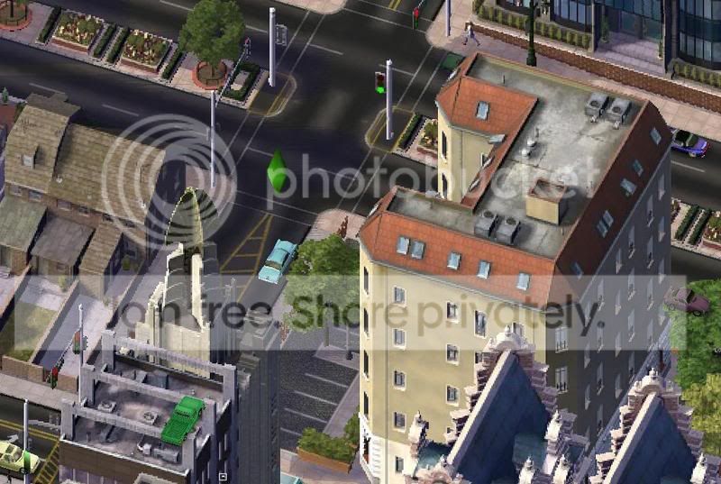
-- They arrived at another traffic light with the sign marked as Hwy-35... The Cornell made a right turn and proceeded southbound through the vast cluster of biuldings which made downtown.--
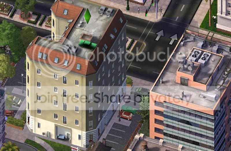
-- Soon they arrived at another instersection, labled as Hwy 4, and they made a left and proceeded eastward...--
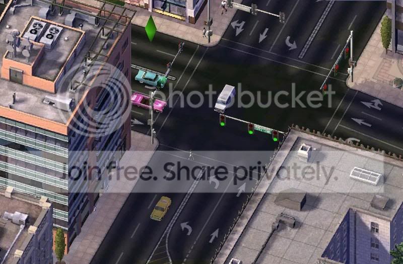 .
.
-- Afterward, it wasn't long before they encountered their last insersection, just after, the ground was covered in palm trees. --
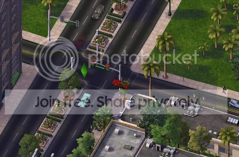
-- The road raised into the air, letting way for a bridge over the Oconee River into Eaton --
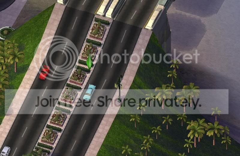
-- Proceeding over the river, and into Eaton --
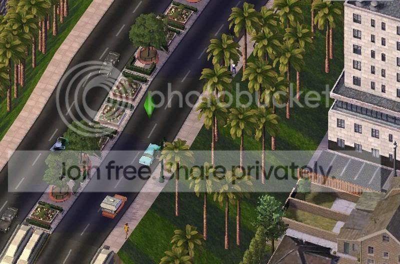
-- Ariving in the middle class town of Eaton --
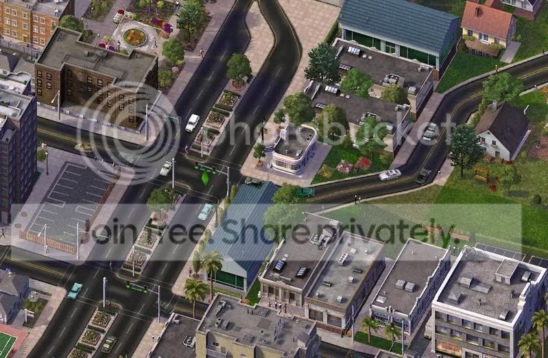
-- Soon the road narrowed --
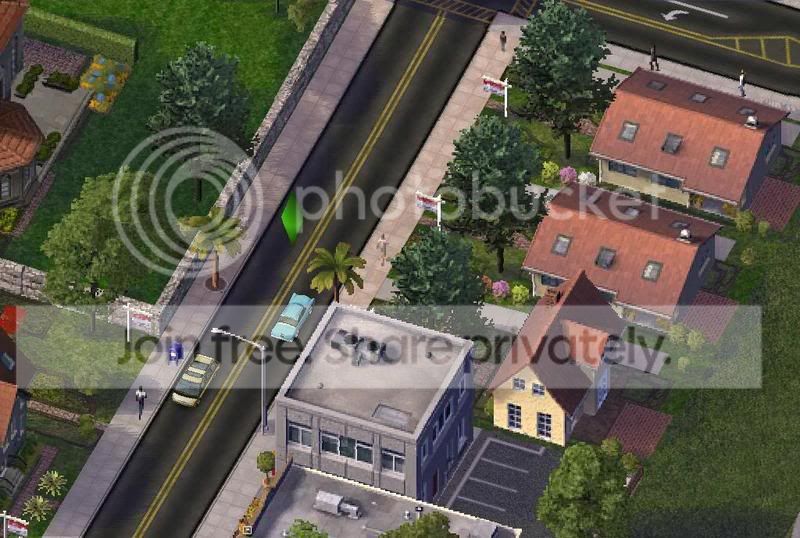
________________________To Be Continued
I really hate leading you guys on - Story Mode however will be completed on the next update as I'm fresh out of energy tonight... Also I will include SimTropolis Mode as well on the next update...
Thanks and have a good day
Founder of Project Blue Hope - Join the Massive Multi-player Regions.
Great pics of the city! Love the plot; good job with the update. Keep it up my friend! Waiting for more soon
Some of those places are a bit steep! good city building though
I'd love to see the northern bank of parsel 21. Is there a community already there? How much would it cost to buy a house in parsel 17? Unfortunately, I don't have the time to BAT anything, so I guess it'll have to come from SC4. Thanks!
Great updates, creative use of Maxis content (and the NAM), I love it! You're doing a great job.
-Yoshiisland
Keep calm and take photographs.
Deviant Art Page | The Railfans of Simtropolis | YouTube Channel | Flickr
excellent work and pics my friend great farms you have built
No registered users viewing this page.
Thank You for the Continued Support!
Simtropolis depends on donations to fund site maintenance costs.
Without your support, we just would not be in our 24th year online! You really help make this a great community. 
But we still need your support to stay online. If you're able to, please consider a donation to help us stay up and running. This helps sustain a platform where we can share our community creations for years to come.
Expand your city with the best from the Simtropolis Exchange.
Make a Donation and get one or all three discs today!

By way of a "Thank You" gift, we'd like to send you our STEX Collector's DVD. It's some of the best buildings, lots, maps and mods collected for you over the years. Check out the STEX Collections for more info.
Each donation helps keep Simtropolis online, open and free!
Thank you for reading and enjoy the site!





Last Online:
thats aweosme great start, can't wait till you post the grid pics
keep it up,
Richard
My STEX Projects: Cleaner's Creation Center vvvvvv My CJ's: Valencia (coming soon) | Espra |
Share this post
Link to post
Share on other sites