

Weston

Weston was founded by Jon Weston, back in the times of Westward Expansion (1847 to be exact). Built on the hope that the United States would some day settle all across the continent and reach the Pacific Ocean. The town was made possible by the roads and rails that intersected at the point now known as Weston Gulch. Located only about a half mile from the Pecana River, the city grew at very fast rates as settlers from the east poured in. As the city grew the mayor and several of his advisors planned a large and daring new expansion project which would create a whole new section of town on the other side of the river. The area took several years to plan and map out, the area is present day Downtown Weston. As you may notice by looking at the pictures there is close to a quarter to a half mile of open land between the river and anything man-made. Well anyone who lives in Texas knows that those small little rivers turn into your worst nightmare after a rainstorm if you live too close to it. Basicly its a flood plain! Here is some other information:
Established 1847
Capital of Weston County
Current Mayor: Evan McDaner ®
43%-R 42%-D 11%-I 3%-O
40%-White 38%-Hispanic 15%-Black 7%-Native American
Sports Teams:
Weston Herders (Football)
Weston Prairie Dogs (Hockey)
Weston Red Sides (Baseball)
Weston Settlers (Basketball)
Weston Hot Souls (Soccer)
Yeah so now that you heard all the stuff you probably don't care about lets look at some pictures...
Lets start at the beginning


This is Weston Gulch, where it all began. The building in the center which resembles Independence Hall was built in 1852 and was modeled after the original in Philadelphia. It served as City Hall for many years and is now a museum. Notice the grass lots that were built across the street and behind the building, this is basicly the Wild West version of the National Mall...on a smaller scale. We got all the wildwest stuff still there, everything is perserved and unless it is washed away by the river will never disappear or be built over.
Lets move on to the bridges that span the Pecana River.

This is the Samuel Houston Bridge that crosses the Pecana River. It was recently rebuilt. All but one of the bridges in the city were rebuilt in the past five years. All the bridges are made of the same stone which compliments the rust colored water. Traffic on the bridges generally is pretty bad. It connects a large population center to the Downtown area and there are little alternatives. The traffic generally moves pretty quickly though, quick enough that it is difficult to get a picture of...
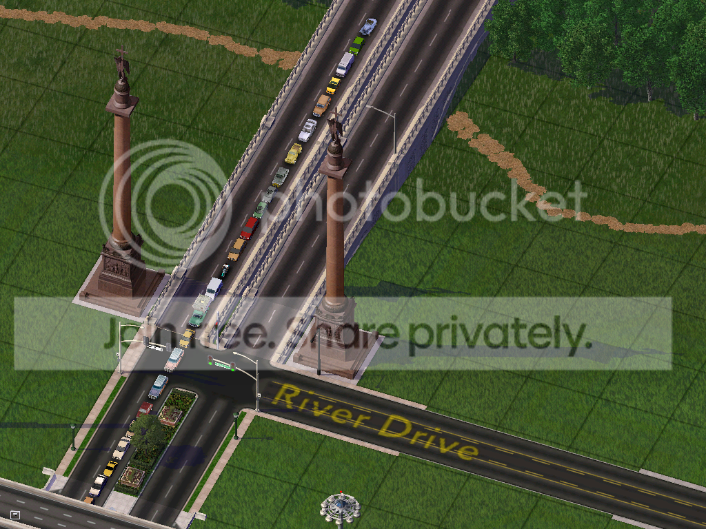
Awesome, so here we are on the east side of the Pecana River at the intersection of George Washington Boulevard and River Drive. You can see how the floodplains curve down towards the river. Fun Fact: Insurance companies will not insure any property in Weston that is built West of Interstate 5E (the highway in the bottom of the picture or East of the Golden Coast Highway because of their vecinity to the river which floods often.
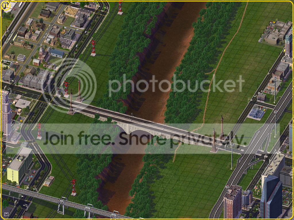
The floodplains around the Pecana River. The bridges are build all the way across the floodplains. It has to be a really bad storm to shut those bridges down! If those bridges are underwater it doesn't matter too much that you can't go to work because chances are its underwater!
A shot of the Pecana River and both sides of the river. The Weston Gulch side (left) and the Downtown side (right) The highway that follows the river on the downtown side is Interstate 5E. Interstate 5W (known as I-5) is on the west coast. Our section of I-5 doesn't reach their section until Seattle. Notice the V shape where the highways meet (lower). That is the intersection of I-5 (Saucon Highway) and I-505 (Santa Anna Freeway).

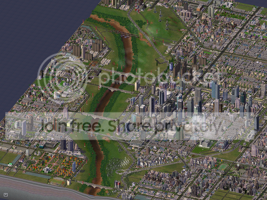
Close up of Downtown. The major thruways are George Washington Boulevard (E-W), Samuel Houston Boulevard (E-W) and Law Street (N-S) When making downtown, I tried to keep in mind that midwest and Southwest cities are very spread out so I tried to kind of incorperate that into the city as well. Also notice the transit station in the lower left. The HSR makes stops in Cedar Springs, Midland Prairie (W-CS Int'l Airport), Weston, and Arlington.

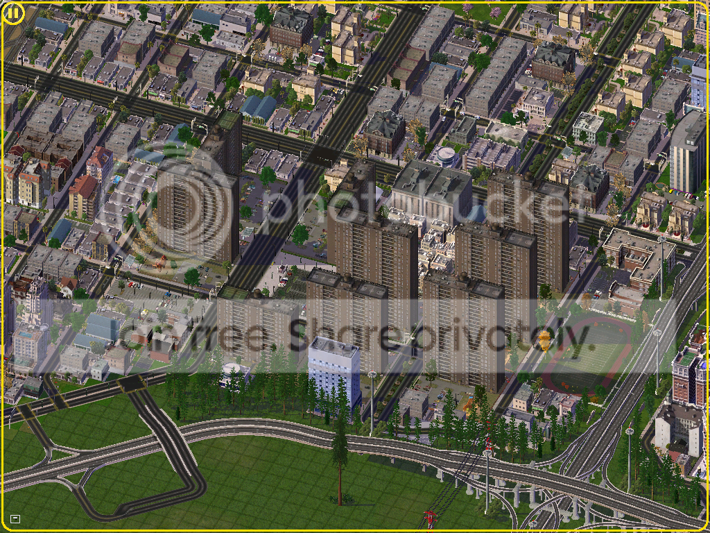
This is the heart of downtown. The tallest building in the city is located in the center-right of the picture off of Chambers Street.

Traffic on Law Street in Downtown.
The Federal Government imported stone from New York to build these projects back in the '60s. Some new commercial lots have been built around them. These projects were built on some prime realestate. The intersection of I-20 and I-5 just north of Downtown.

City Hall and the Court House, located on Skokomish Way.
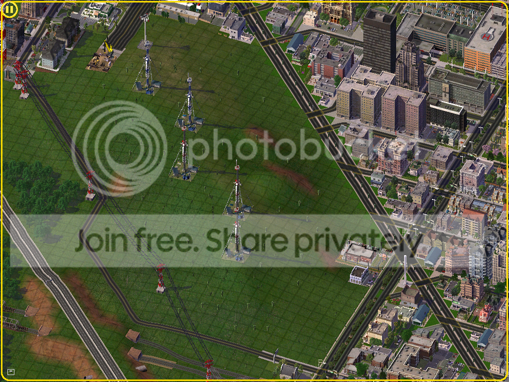
DeSoto Ridge, highest nonman-made point in the city. Located off of Skokomish Way and Canal Road. TV and Radio towers were placed on top of the ridge. Cacti grow there because the higher elevation receives very little water. On the top of the picture you can see a building being torn down to make way for the expansion of Colorado Highway.

University of Texas at Weston, see more in an up coming update!

The Weston S-Metro (Surface Metro) is in this picture. This was taken by the intersection of Law Street and Canal Road. Thousands traval on this particular line everyday. Not shown on the diagram below.
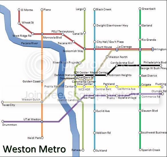
This is a map of the Weston Metro. This is only a map of the underground trains. The Weston U-Metro and S-Metro have not yet been integrated, perhaps soon...

On the north side of the city this is the new PedShops built on Dwight Eisenhower Hwy and La Cienega.

Veterans Memorial Park.
So that is my breif overview of the city, I'll try to update with some pictures of traffic and stuff. So yeah thats for checking Weston out, leave comments. If there is something else you want to see or have any ideas post them, thanks! Also keep in mind, try to figure out which cities I incorperated ideas from. Someone already guessed Dallas-Fort Worth, which is correct. There are at least 4 more.

7 Comments
Recommended Comments
Sign In or register to comment...
To comment in reply, you must be a community member
Sign In
Already have an account? Sign in here.
Sign In NowCreate an Account
Sign up to join our friendly community. It's easy!
Register a New Account