

Day 37: Turnabout Point


Day 37 + 9 hours:
The land indeed does seems to be getting flatter, though it still is too rocky to attempt to head farther inland, so we have to continue along the coast as usual. Maybe around the next inlet we'll have better luck? So far there have been no signs of inhabitants, possibly because of the rockiness.

Yes, the land is flatter, there's actually a quite large and easily accessible area here, even if it is almost surrounded by water and still pretty rocky. The main difference here is the trees, which seem to consist of mostly the shorter type with lighter green leaves than most of the rest, though there still are plenty of the remaining trees, including some dead ones.
Day 37 + 13 hours:
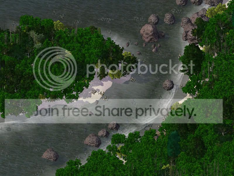
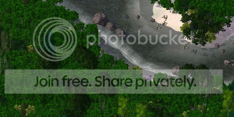
An island! Hm.. that gives us three options to take now. Do we continue on the path we're traveling on along the coast, head to the island, or head farther inland, now that we're able to? The island might be the best bet, it seems to head back to the other island near the farming areas of Tarac, though it's too distant to see from here in order to be sure. Wait, is that the sound of running water? If so, that would be the first actual stream we've come across so far.
It is! Who knows what is at the end of it, though for now it will have to wait, the islands are where we are heading next. We'll have the mark the steam as a likely source of a future expedition, however.
Day 37 + 15 hours:
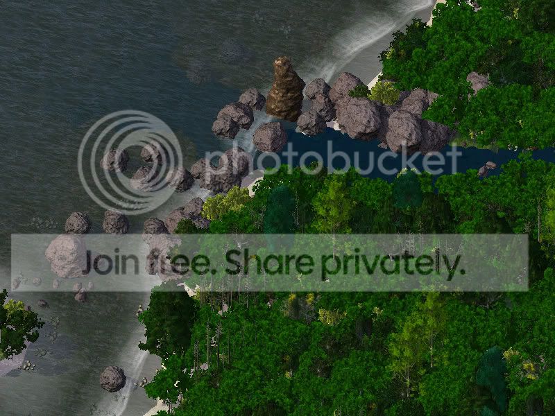
This island, assuming it is an island rather than being attached to something, is actually very much like the lands of Ansic and Tarac, and most likely will be a great spot for future expansion, both for settlements, and more farms. The water to the west seems to be just as expansive as the water to the east of Ansic, though no mountains are visible at all in the distance in either direction here. I wonder what those mountains are off to the east... there's no way we're going that way until I'm sure the boats are ready, though. Maybe some bridges would be good for the settlement of these islands as well, we'll just have to wait and see, though.

3 Comments
Recommended Comments
Sign In or register to comment...
To comment in reply, you must be a community member
Sign In
Already have an account? Sign in here.
Sign In NowCreate an Account
Sign up to join our friendly community. It's easy!
Register a New Account