

Update 55 - 3/12/12 - Brittany River Hwy: 48th Street to Anchor Road

Update 55 - Brittany River Hwy: 48th Street to Anchor Road
Today we will explore the north bank of the Brittany River along Brittany River Highway (District Highway 50; National Highway 18) west from 48th Street to Anchor Road (District Highway 31).
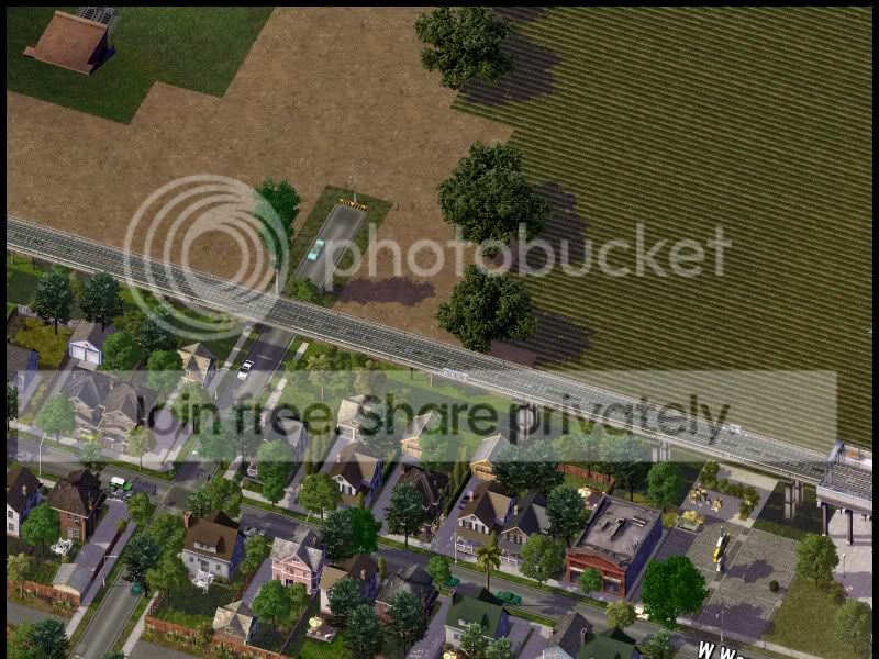
A medical college, a park, and a zoo occupy the river bank before the north bank of the river becomes industrialized with train yards.
North of Brittany River Highway is the Burnham Farms neighborhood. More views of this neighborhood will be available in the future. In the background of many of the pictures we can see WTAMetro Purple Line 6. At Anchor Road, the line turns south to serve the Village of Hohler and the City of Hawthorne.


Intersection of the Brittany River Hwy and N 54th St and the part of Brittany River Medical College.


On the west side of 56th Street is Albert Dourtmouth Festival Park. This park is the site to a number of ethnic and music festivals.

On the west end of the park, a small zoo, Brittany River Zoo, has been constructed. More land is becoming available for redevelopment as parkland as factories close and are demolished.

We can see the city expanding on the north end further into Burnham Farms.

The Brittany River Railroad crosses to the south side of the river to connect with the Martin & St. Paul Railroad and the Western Railroad.


The Brittany River Railroad splits with a branch going south (previous picture) and the other branch ending in a train yard. At the top of the picture we see a single track branch of the Brittany River Railroad headed north.
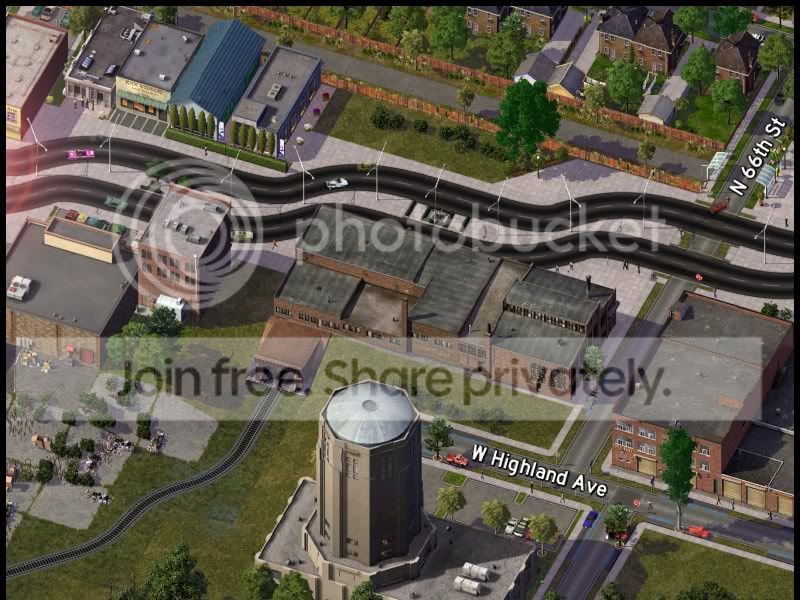


Right at the top of this picture we can see the edge of the campus of Martin West High School.


Anchor Road Bridge to the south side of Martin.


City of Martin, City of Hawthorne, City of St. Paul, Martin County, and District of Wenzel officials commissioned a study into the development of system of expressways and freeways in Martin County to connect the Martin, Hawthorne, and St. Paul and deal with congestion on surface arteries. This is the first plan for the north side of the county focusing mainly on the City of Martin. District of Wenzel Department of Transportation (DWDOT) and Wenzel National Department of Transportation (WNDOT) officials are still hammering out details of a new national freeway system. Early plans call for the capital city of Martin to have an intersection of a major north-south and east-west route. St. Paul's position at the southwest corner of Sapphire Lake also will likely make it a hub for an intersection of a few routes (including presumably, the east-west route that will pass through Martin but will have to travel south to go around Lake Sapphire.
There are no designations for the freeways yet. In some reports, it appears that N41 which currently runs along Waterfront Pkwy, Penelope Point Dr, Wisconsin Ave, Mitchell Blvd, Commerce Ave, North Ave, Prospect Ave, and Lakefront Dr, will be rerouted on the "Lakefront Freeway". N45 might possibly be the "North-South Freeway" currently planned near the Trinity Blvd/24th Street corridor. N18 might be rerouted as the "East-West Freeway" and then piggyback to St. Paul along the "North-South Freeway" or the "Lakefront Freeway". N20 could become the "Penelope River Freeway". Of course no one knows for sure the designations of the freeways and most are assuming the National Highways will be routed along them, but as reported earlier it seems there are plans for a National Freeway System (but whether this refers to the roads themselves or a completely new designation system separate from the National Highways is only speculation).
Wow, I got a little long-winded with my ideas for my freeway system. Like I have said, as soon as today I might begin laying down some of the freeway out in the Jade area (there is a City of Jade, but it is not shown on the map, yet, hehe, I should probably get around to mapping that and St. Paul, yeah?).
I hope you enjoy this update and the prospect of freeways coming!
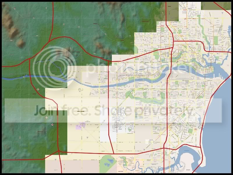
Check out the District of Wenzel Street Map to get an idea where we are.

3 Comments
Recommended Comments
Sign In or register to comment...
To comment in reply, you must be a community member
Sign In
Already have an account? Sign in here.
Sign In NowCreate an Account
Sign up to join our friendly community. It's easy!
Register a New Account