Jump to content
  •   Announcement

  • Entries
    50
  • Comments
    211
  • Views
    50,913

East Capitalis

Sign In to follow this  
sumwonyuno

459 Views

The stretch of the southern shore to the east of in-town Capitalis is naturally called East Capitalis. The high quality of life here is reflected in East Capitalis having some of the most expensive neighborhoods of Community Island.

eastcapitalis.jpg

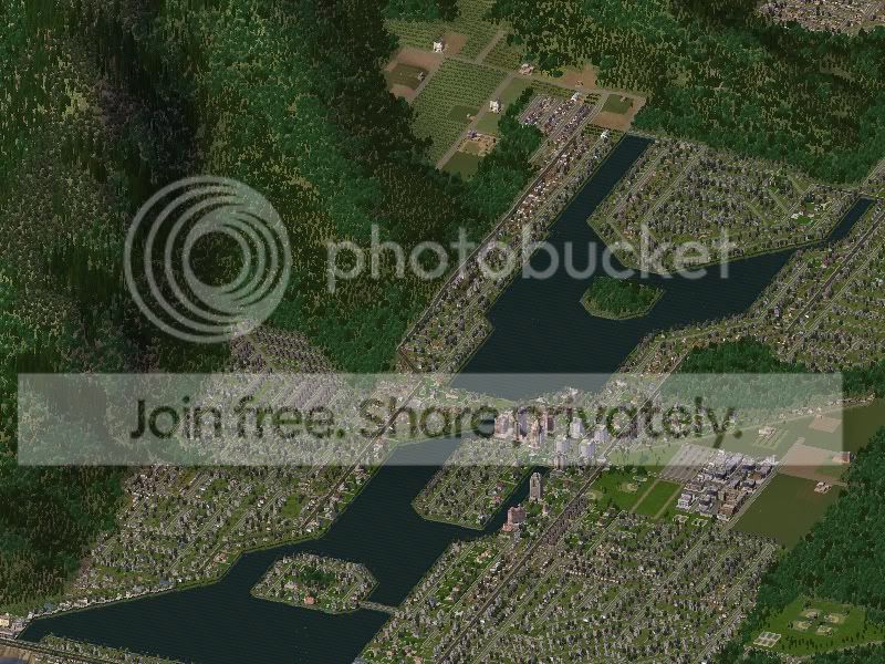
Jaroro Valley is one of the four major valleys to the north of Capitalis. Although it does not garner as much attention as the other 3 major valleys, it is the only one left with an unobstructed viewplane from the mountains to the ocean.

jaroro1.jpg

jaroro2.jpg

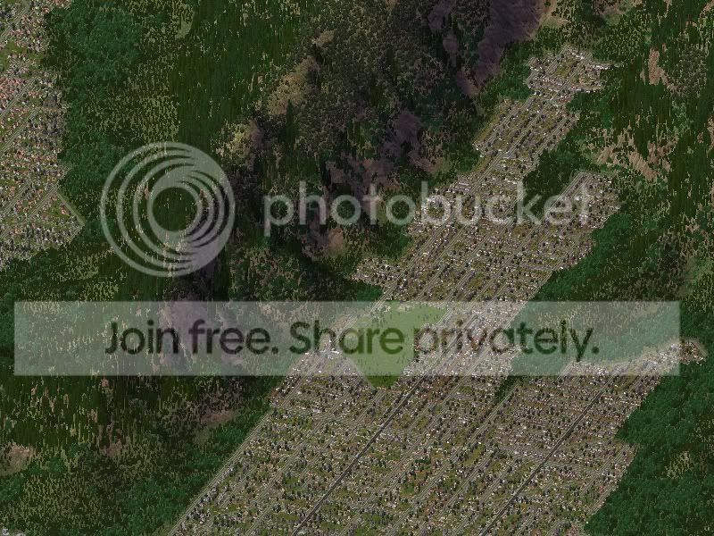
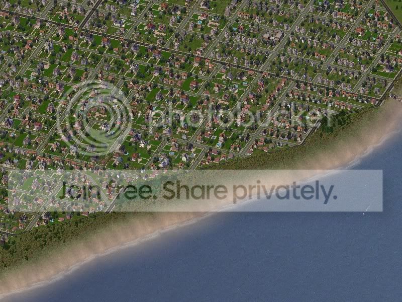
Kaipuki is the first major subdivision outside of the old Capitalis port town. It extends from Pearl Head and into the Jaroro Valley. Vaiarae Avenue is the area's "Main Street" and was a major commercial district in the early 20th century.

kaipuki.jpg

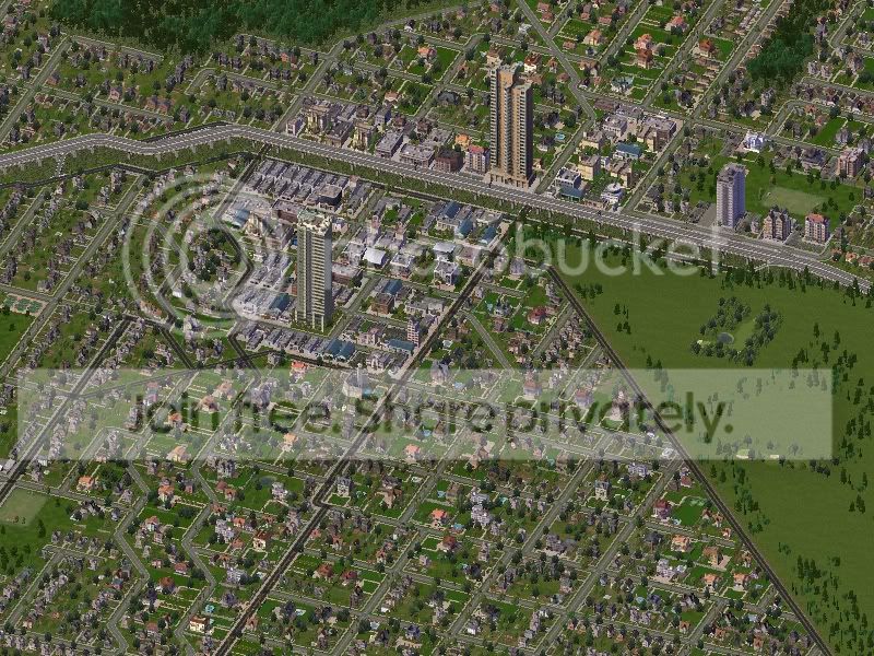
Katara is a predominantely R$$$ neighborhood to the east of Kaipuki and Pearl Head. It was comprised of R$ and R$$ in its early years. During Capitalis' boom period, R$$$ moved in, redeveloped the area, and property values skyrocketed. Today, Katara is Paradise's most expensive neighborhood. To the north of Katara is the Katara Mall and Vaiarae area.

katara1.jpg

katara2.jpg

katara3.jpg

The string of neighborhoods along the Prince Highway are the result of rapid urbanization of wetlands during the Capitalis boom years. The R$$ and R$$$ homes were targeted at Sims moving from the Simerican mainland wanting to live in Paradise.

karani.jpg

The Karani Valley and the Vairuje Peninsula.

vairuje.jpg

'Aina Taina was one of the original neighborhoods in East Capitalis. It was a village built after the second SimWorld War. The neighborhood was expanded significantly since then.

ainataina.jpg

Niu Valley and Kuriouou.

niu.jpg

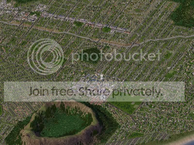
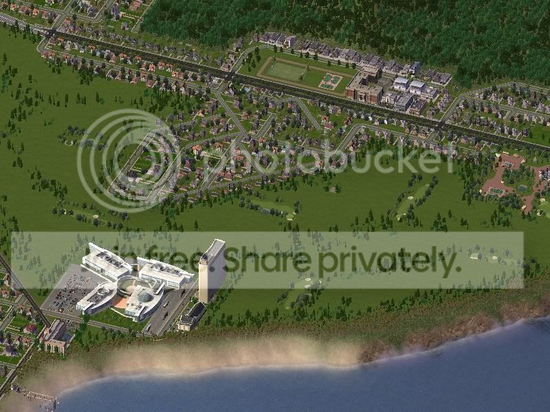
The largest of the East Capitalis neighborhoods is Paradise Sea. The Simerican industrialist Kerry Seahin had the vision and the simoleons to transform a remote fishpond village into the premiere Paradisian suburb for Capitalis' affluent.

paradisesea1.jpg

paradisesea2.jpg

North of Paradise Sea is the Karapa Valley.

karama.jpg

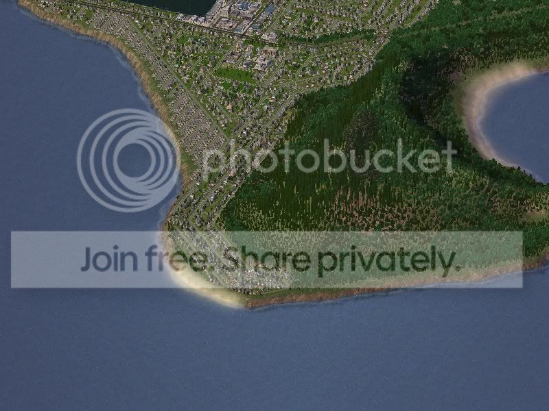
Tanaupa Bay in is the remains of Koko Head, an ancient volcanic crater that eroded into the ocean.

tanaupabay.jpg

Koko Crater, to the north, is the largest of the secondary volcanic craters on Community Island.

kokocrater.jpg

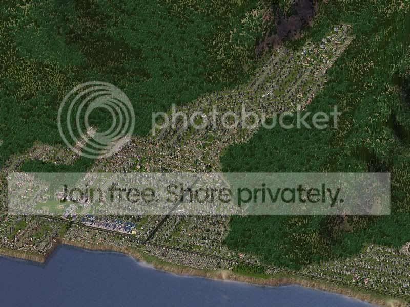
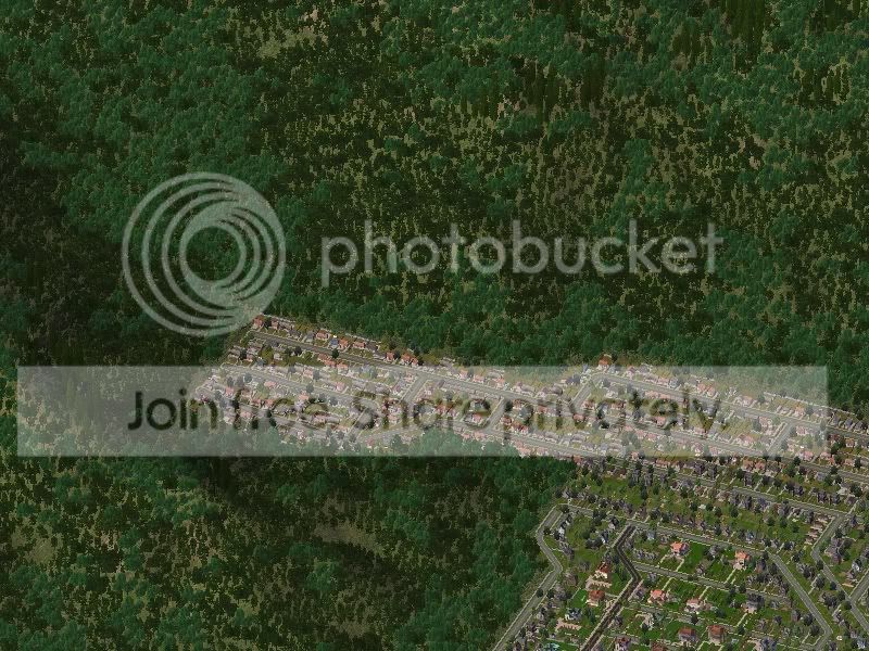
Sandy Beach is a popular beach for advanced swimmers.

sandy.jpg

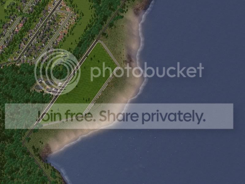
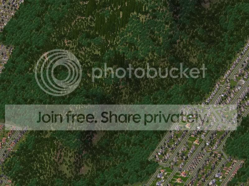
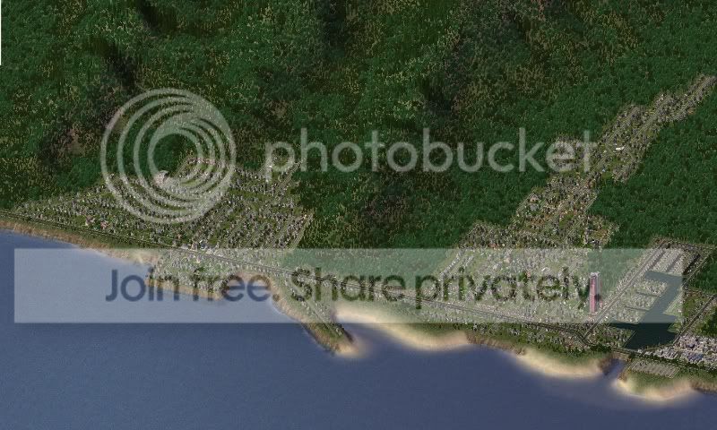
Pakaju'u Point is part of the Ka Ivi shoreline. This area is one of the few undeveloped shorelines on this part of Community Island. City policy and the East Capitalis Development Plan are specifically against any development here. However, the Ka Ivi shoreline is still zoned under State law as urban. Local Sims have been lobbying the State's Land Use Commission to rezone the area to preservation.

pakajuu.jpg


Sign In to follow this  


7 Comments


Recommended Comments

I have only one word for this CJ..........Wooooooooooooooooooooow! The way you plan your suburbs makes your city look very realistic.

Share this comment


Link to comment
Sumwonyuno! I just saw Honolulu from Google Maps and Your city look very like it! good job (TerraForm is the same! with the two crater volcanos and all the rivers and waters xD just the airport is not at the same place but xD) 5/5 but I can't vote again...

Share this comment


Link to comment
Evillions:  The Sims of Capitalis would be up in arms if seawalls replaced the beaches.  In real life, development near or on the shore has accelerated local erosion.  Though, I think there are certain areas of Capitalis Harbor (the exposed dirt coast) that does need improvement.  I may later improve the beaches of certain areas with rocks and flora.

shyguy from SC4D:  Heh, I'm not the one that planned out the suburbs.    They were incredibly tedious to make.

sunsrise:  Thanks.  I actually was surprised to find that there are farms on this side of the island.  I'm guessing they were there before Kerry Seahin (Henry Kaiser) redeveloped the area into Paradise Sea (Hawaii Kai).

Retep Molinari:  On the fourth picture from the top (Katara), I'm not sure if I see a "crazy" building.  That custom building is the Cobb Shoreline.  I'm guessing you meant the fifth picture, south of the golf course.  I used the nVidia Corp building.  It looks somewhat like a resort. 

blakeway:  Last but not least!  Heh, a score of over 4 puts this on the first page of the top rated CJ's.    And thanks for noticing the similarities.  If you look at the Google picture, it clearly shows the roadway layout is not to compass grid.  By sacrificing the real orientation (and therefore a more accurate region view), I was able to replicate a lot in the game.  Unfortunately, there are whole areas and some neighborhoods that are left out as a result.

Share this comment


Link to comment

Sign In or register to comment...

To comment in reply, you must be a community member

Sign In  

Already have an account? Sign in here.

Sign In Now

Create an Account  

Sign up to join our friendly community. It's easy!  

Register a New Account

×

Thank You for the Continued Support!

Simtropolis depends on donations to fund site maintenance costs.
Without your support, we just would not be in our 24th year online!  You really help make this a great community. *:thumb:

But we still need your support to stay online. If you're able to, please consider a donation to help us stay up and running. This helps sustain a platform where we can share our community creations for years to come.

Make a Donation, Get a Gift!

Expand your city with the best from the Simtropolis Exchange.
Make a Donation and get one or all three discs today!

STEX Collections

By way of a "Thank You" gift, we'd like to send you our STEX Collector's DVD. It's some of the best buildings, lots, maps and mods collected for you over the years. Check out the STEX Collections for more info.

Each donation helps keep Simtropolis online, open and free!

Thank you for reading and enjoy the site!

More About STEX Collections