


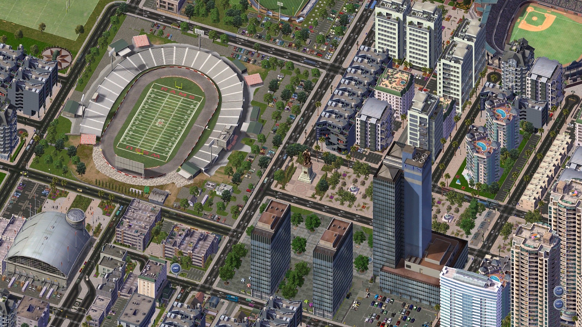
Progress update and The Hills and Plains districts

Today I want to provide a sort of status update to my region. I've decided that the best way to build my city, and to give each part of my metropolis a distinct look and feel, is to break the region up into unique 'districts'. This is because, in real life, cities rarely just grow outward from a single point; rather they're the agglomeration of multiple townships, which have grown and been consumed into an urban conglomeration over decades and even centuries. I've therefore come up with the following:
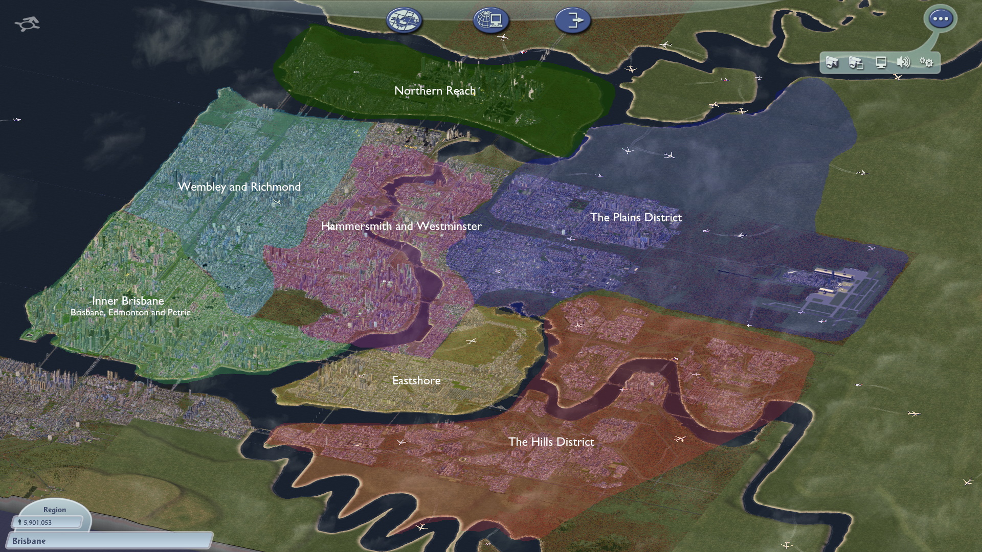
You can see here that the divisions are kinda based off how the region would've looked 200 years ago, when transport links were much less. I theorise that Inner Brisbane would've been a fishing village, whereas Hammersmith would've been a strategic defence installation or fort. Slowly these two grew together to form one bustling metropolis, but each keeps its unique role.
Brisbane's inner city district is a business city and historical centre, hence I've given it a tram system built in the 1900s. This tram system still operates extensively within the core, but hasn't been expanded much beyond the district. This is because in this city, as has happened in real examples such as Melbourne, by the time development happened further out to justify tram extensions, rapid transit alternatives and buses would've been more economical. I've also enabled more variety in tilesets, giving a good mix of older, 1920s era apartment blocks and newer, trendier office buildings. This is not unlike New York or London today.

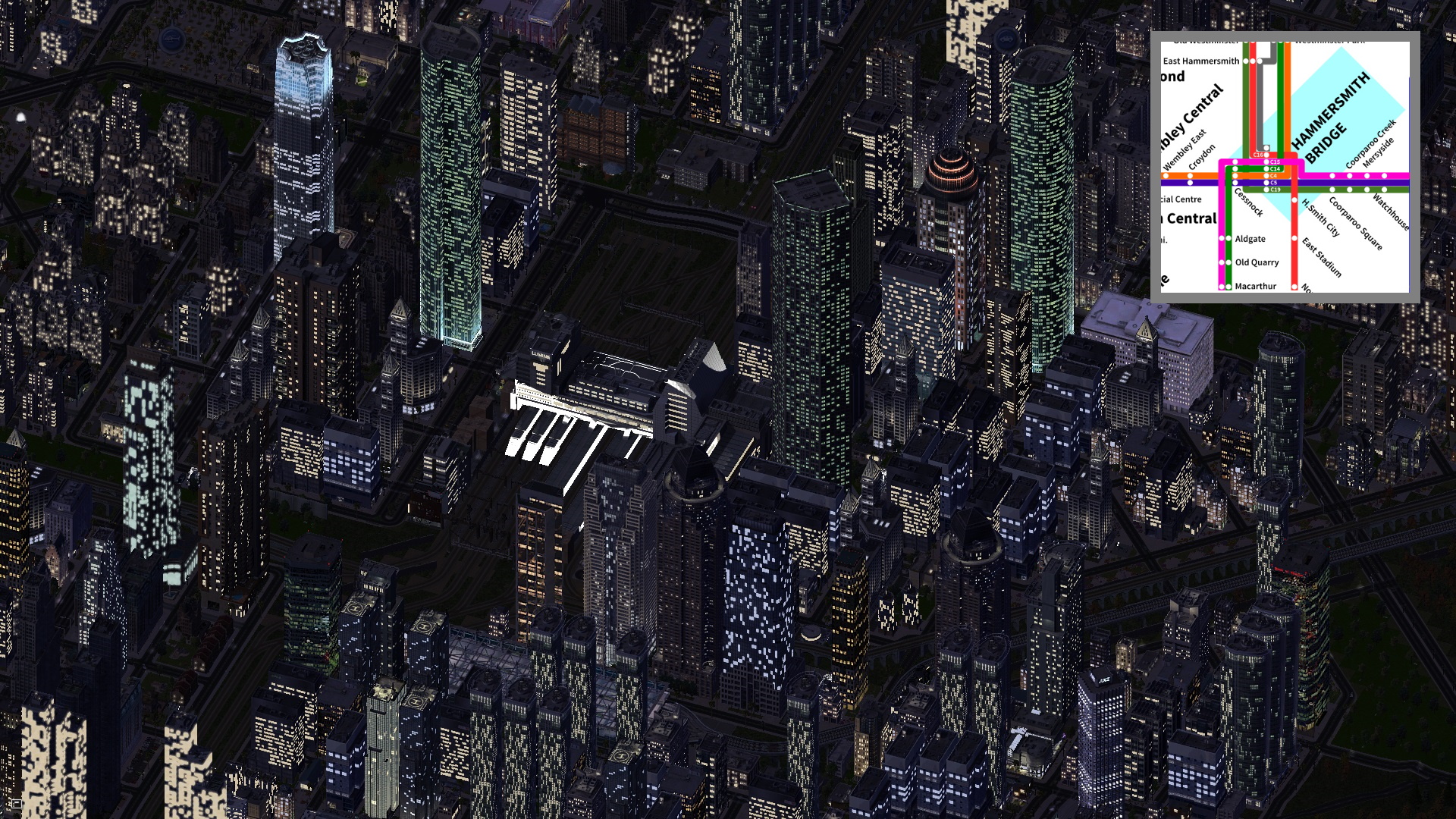
Compare the above to Hammersmith below, which I've modeled as more late 20th Century modernism, specifically developed around major transport hubs. A real-life example would be Tokyo's Shinjuku area, where massive development has been driven primarily thanks to the convergence of multiple mass-transit lines. Hammersmith Bridge station (centre of below, with map inset) is where seven commuter train lines and six subway lines converge. There's also international high-speed rail. Therefore, the area saw a building boom in the last quarter of the 20th Century.
The two districts which I am currently slaving away on are the Hills and Plains districts, two areas which were historically farmland until the early 1900s but now play the role as dormitory cities. Given how big I plan this region to become (30 mil is the far-away hope), both the Hills and Plains districts are today dominated by mid-rise apartment blocks, but there's also some detached housing to represent old money. Northeast of the Plains district is a river which becomes straddled by relatively steep mountains - I plan to make this the Valley District.
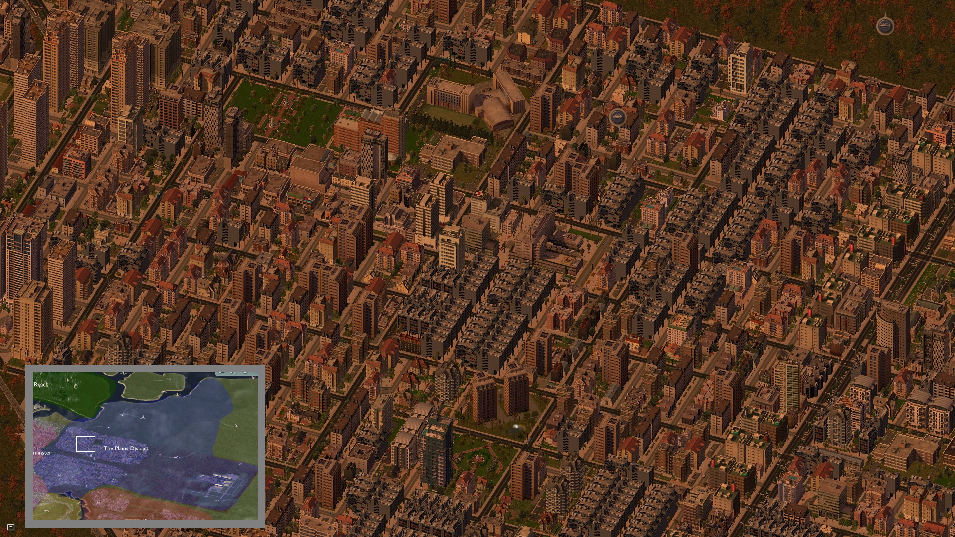
The Plains district is a concrete jungle, with wall-to-wall apartment blocks built from anytime between 1950 and today. Relatively loose zoning laws and a boom in social housing has resulted in some of the densest development, but the area is well serviced by U-Train lines which feed into the urban centres. There's a wide variety of demographics here: young professionals, university graduates, public service workers, working class families and lower wealth retirees.
Mitchelton (pictured below) is a what one would consider the standard suburb of the Plains District.
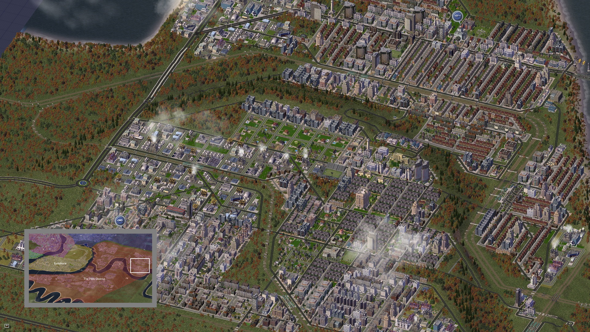
In comparison, the Hills District is a little bit more extreme. On the one hand, you have wealthy types who will shell out millions to buy a mansion or luxury condo with a city view. Many consider this a big reason why the Hills District has a strong NIMBY factor, with many high-density developments shot down by endless lawsuits from disgruntled residents. On the other hand, the area is also home to some decidedly working class suburbs.
You can see this divide clearest in the below picture: on the hill (bottom left) are the suburbs of Acton Hill and Houndslough with the homes of lawyers, corporate executives and bankers; in the valley, the working class row-houses of Acacia Ridge.
That's all for now. Hope you enjoyed 
-
 6
6


0 Comments
Recommended Comments
There are no comments to display.
Sign In or register to comment...
To comment in reply, you must be a community member
Sign In
Already have an account? Sign in here.
Sign In NowCreate an Account
Sign up to join our friendly community. It's easy!
Register a New Account