

Google Earth - 07/09/2007

I thought I might add some Google Earth shots to my CJ as well just to add some interest.
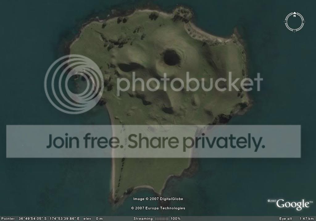
Brown's Island
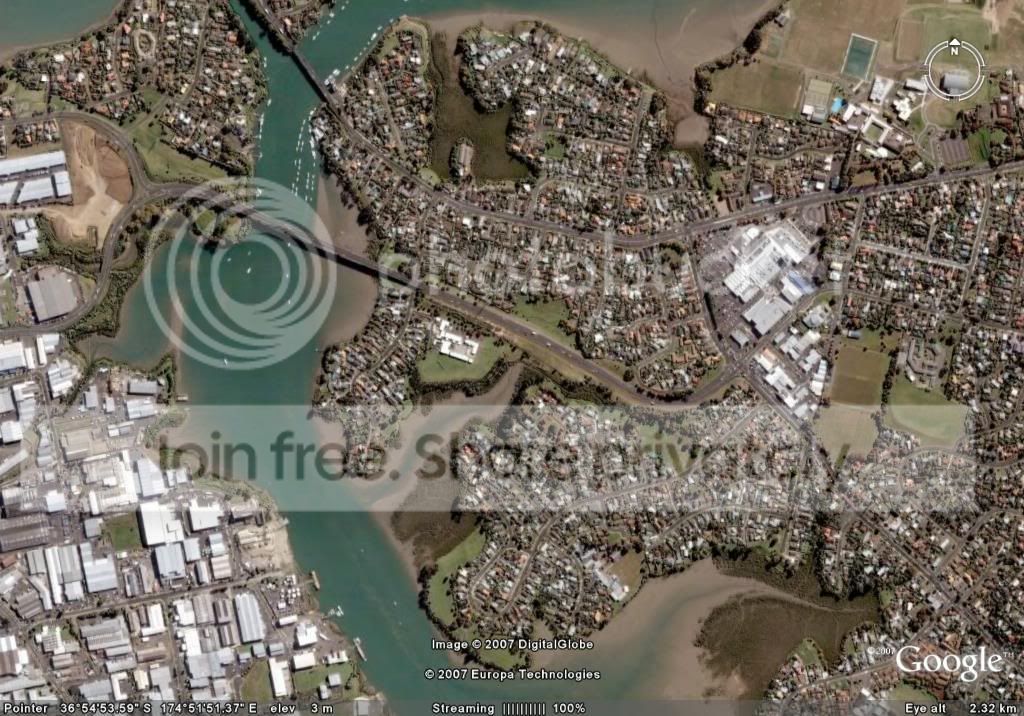
Pakuranga (right) Otahuhu Industrial (left)
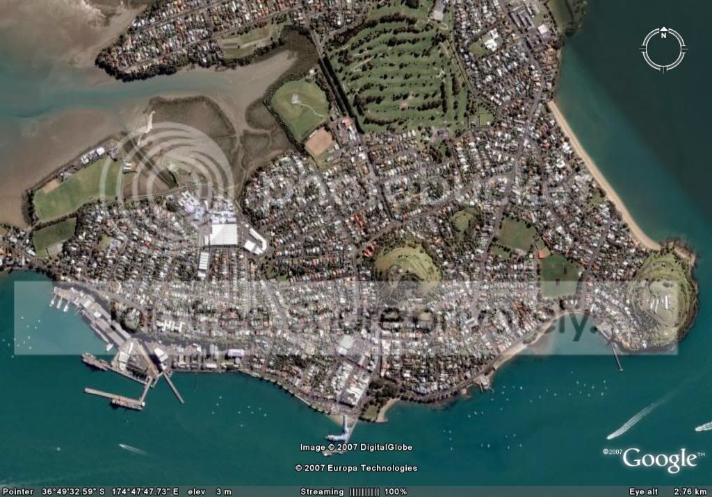
Devonport - Naval yard (right), Ferry (centre) Mt Victoria and North Head (two volcanic cones)
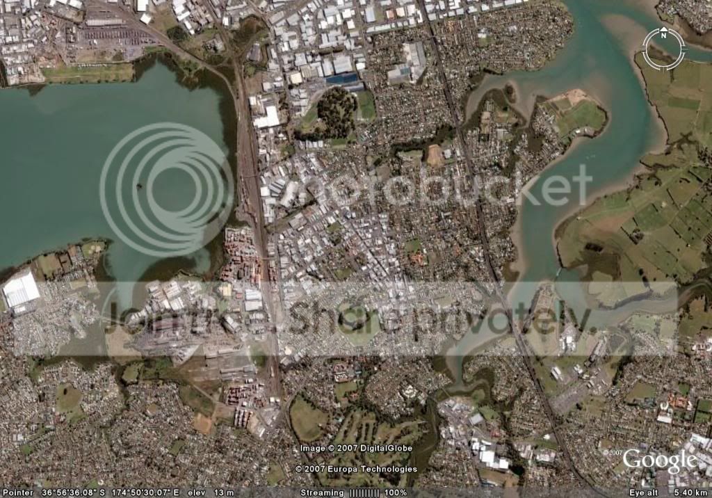
Otahuhu - In RL the railway runs close to the Manukau Harbour edge and the motorway runs almost to the Tamaki river bank on the right. The motorway in the SC tile runs across the Manukau harbour on the left.
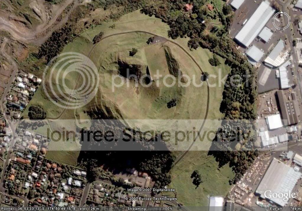
Mt Wellington - one of Auckland's larger cones. The collapsed rim can be seen at 10 o'clock. The rectangular flat area is a water resivour built into the crater.
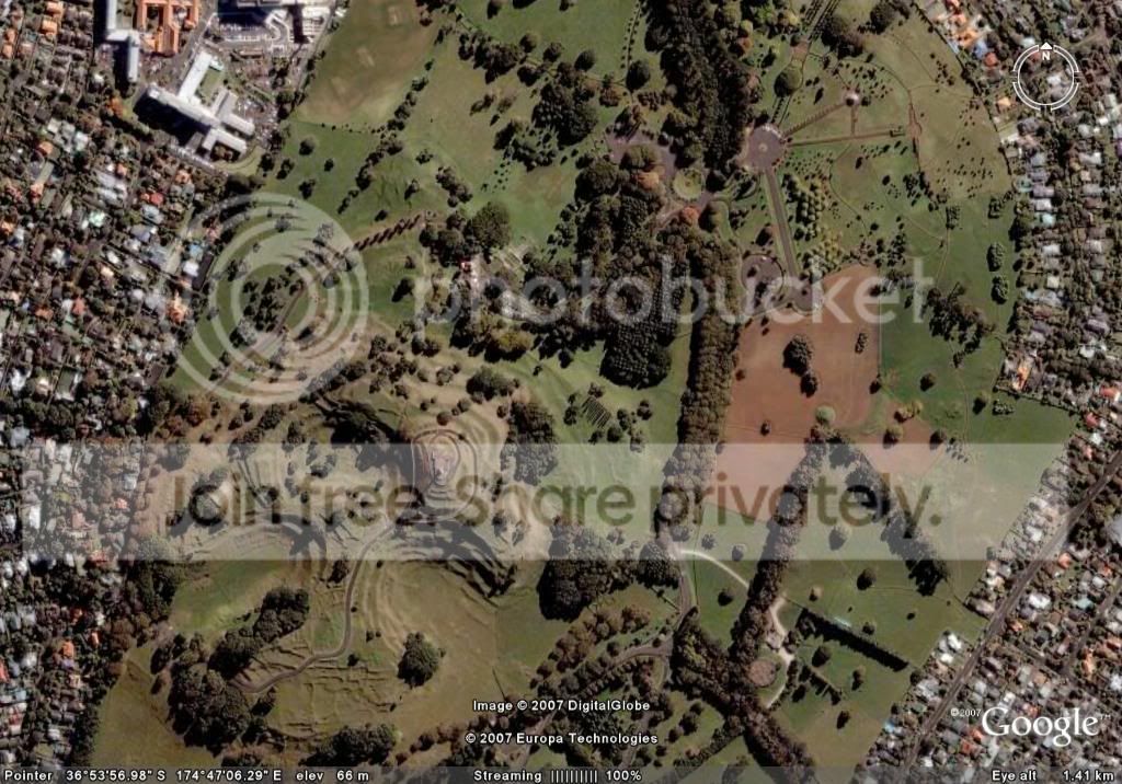
One Tree Hill and Cornwall Park. Terracing from Pre-European Maori settlements can be clearly seen.
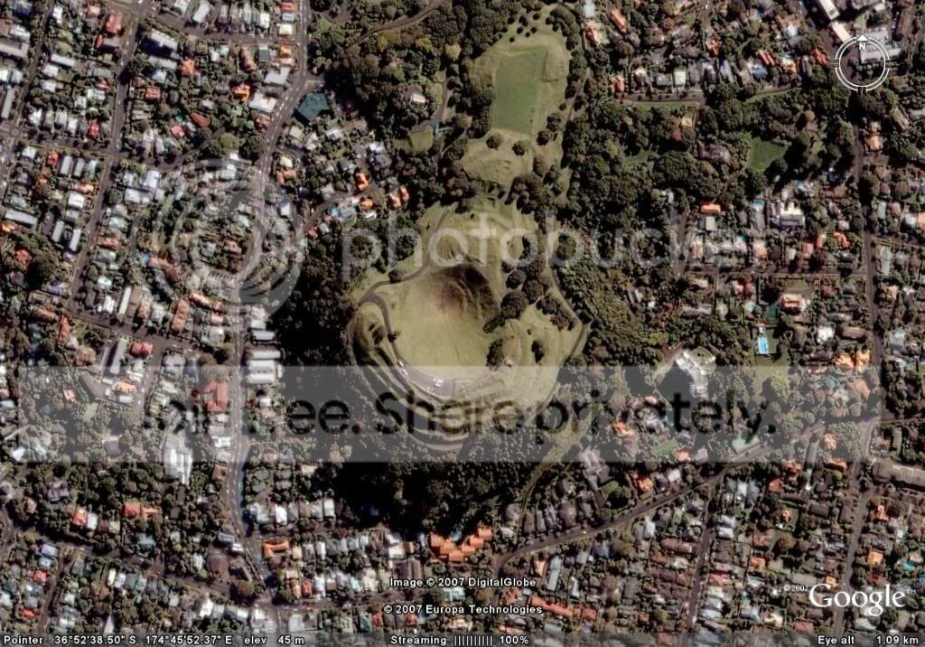
Mt Eden. Again the terracing can be seen from Pre-European times. Mt Eden is a popular vantage point to view the city.
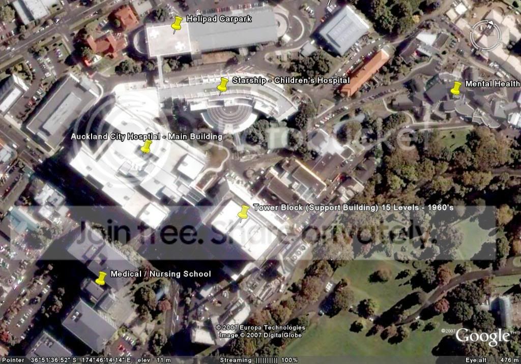
Auckland City Hosptial. That's where I work folks.
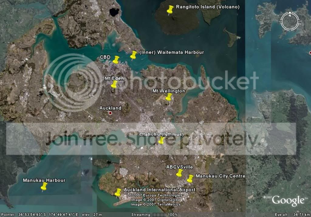
A wider look at the Auckland Region.

4 Comments
Recommended Comments
Sign In or register to comment...
To comment in reply, you must be a community member
Sign In
Already have an account? Sign in here.
Sign In NowCreate an Account
Sign up to join our friendly community. It's easy!
Register a New Account