


1828 : The Land Grants

1828 : The Land Grants
Statistics
Flinders Harbour District 11,776
Flinders Landing 4,700
Sealers Cove 2,130
Hillsborough 2,526
Bligh Bay 1,573
Fleet Islands 338
Haven 509
The Land Grant Era Begins
In an effort to expand the population and encourage migration from England, the district administration, in conjuction with the Colonial Administration in New South Wales, began a program of offering land grants to prospective settlers from England. This has led to the growth of new settlements around Flinders Harbour and the opening up of more agricultural land. New outposts of settlement formed at Haven (inside Flinders Harbour) and Fleet Town (just outside the entrance to the Grenville River) while land beside the newly constructed road to Bligh Bay rapidly developed.
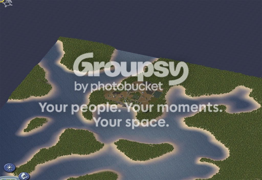
Overview of Flinders Harbour
Map of Flinders Harbour District 1828 (red dots indicate new settlements)

Roadmap of Flinders Harbour District

Growth in Flinders Landing
Although most of the growth in Flinders Harbour District was in the new outposts or along the roads connecting Bligh Bay and Sealers Cove to Flinders Landing, there was significant population growth around Flinders Landing at the new settlement of Spencerfield and around the edges of Georgewater, Soldiers Hill and Pyrmont. Farming land close to the docks at Flinders Landing was jealously guarded which had prevented a large scale expansion of housing development closer to town.
Flinders Landing circa 1828

Township of Spencerfield
To take advantage of the new road towards Bligh Bay, a settlement called Spencerfield was formed just south of Flinders Landing. The name Spencer came from newly arrived settlers who were related to the Earl of Spencer and who had recently moved to Flinders Landing as part of the lands grant program.
Spencerfield circa 1828

Expansion at Soldiers Hill
To accommodate the increasing number of soldiers and guards required to work at the Barracks, additional housing was constructed nearer the crest of Soldiers Hill. After a few near misses and one fatality on the muddy and treacherous tracks near the crest, a new switchback road was constructed to make the journey from the top of Soldiers Hill to Flinders Landing safer. A proposed expansion of Waterloo Barracks, to house more convicts and provide some additional accommodation on site for soldiers, would mean that Soldiers Hill would also need further expansion to cope with the growth of population (especially retail space).
Expansion at Soldiers Hill and the new switchback road.

The new settlements around Flinders Landing
Settlements in Bligh Bay District
One of the first settlements of "Land Granters" (as they became known as) was to the south of Flinders Landing in a bay protected from the treatcherous swells of the Southern Ocean. The settlement, called Bligh Bay, was named in honour of the 4th Governor of the New South Wales colony. The protective harbour would allow for expansion of merchant shipping in the district as Flinders Cove was already becoming quite congested with ships. The safe anchorage could also provide a place for new industries to spring up close to docks. The road North to Flinders landing was also quickly settled to take advantage of the passing trade while a small township grew up near the site of the shipwreck of The Thames which was still partially visible in the sand. In 1828, the fresh water lake to the East of the road was called Lake Elizabeth in honour of the former Queen of England. Although the land to the west of the lake was extensively developed, the remaining land around this lake was reserved so the lake could provide a future water source for the people of Flinders Landing District.
Bligh Bay District 1828

Bligh Bay circa 1828

Thames Beach and Elizabeth Lake 1828

New Settlements in Hillsborough District
The new road between Hillsborough and the settlement at Bligh Bay saw expansion of the farming settlements east of Hillsborough at the new township of Steyne while the townships of Hillsborough and Carriagevale continued to grow in population to the point Hillsborough had become the second largest township in the district (overtaking Sealers Cove). Compared to the housing in Flinders Landing, most of the development was of small farmhand cottages to service the surrounding farmland.
Hillsborough District 1828

Hillsborough Township 1828

New Settlements outposts at Haven and Fleet Town
To ease the pressure due to population growth on land around Flinders Landing, new outposts were set up at Haven (inside Flinders Harbour) and at Fleet Town (outside the entrance to the Grenville River). A new ferry service, linking townships inside the harbour to Flinders Landing and Bligh Bay, allowed for the expansion of settlements outside of the existing road network.
Haven
Upstream from Flinders Landing, the clear fresh water of Flinders Harbour and the ferry service proved a boon to those that moved to Haven. A small port developed at a wide cove at the junction between two rivers and farms quickly developed close to the port to take advantage of access to transportation.
Haven 1828

Fleet Town
Located just outside the entrance to the Grenville River, the small settlement of Fleet Town grew quickly as the first port of call for ships making their way to Port Jackson further up the east coast. The proximity to Flinders Landing and the new ferry service allowed for the unloading of supplies at Fleet Town without large ships having to navigate the Grenville River which reduced delays to their onward passage to Port Jackson. A number of coves around Fleet Town would also be suitable for the development of port facilities if needed.
Fleet Town 1828


2 Comments
Recommended Comments
Sign In or register to comment...
To comment in reply, you must be a community member
Sign In
Already have an account? Sign in here.
Sign In NowCreate an Account
Sign up to join our friendly community. It's easy!
Register a New Account