


Terraforming : Ludlam's Beach Island

Hello again! Numerous real life events have taken me away from working on my journal for the past six months. I'm now ready to pick up where I left off. So without further ado, todays terraforming update features the area around Ludlam's Beach Island, home to the resort towns of Sea Isle City, Strathmere, and Townsend's Inlet.
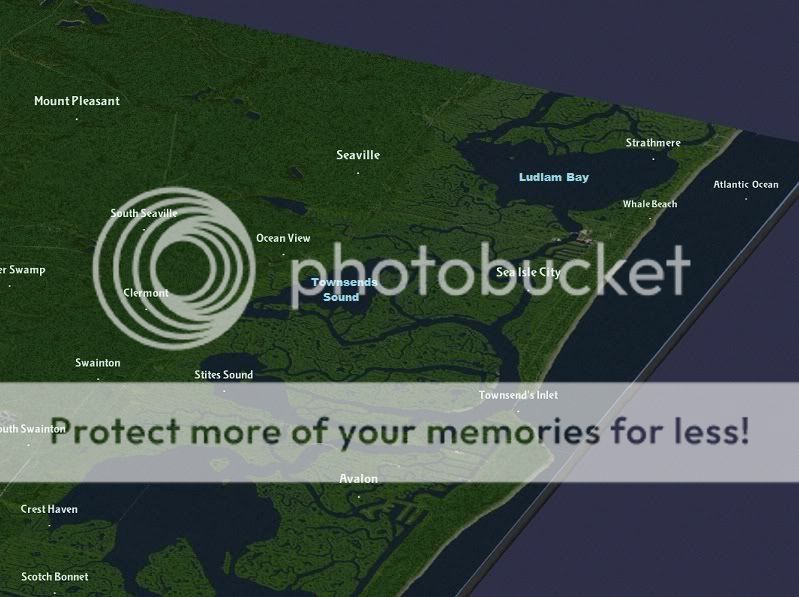
We'll begin the tour at the south end of the island at the Townsend's Inlet tile. The southern half of the tile ( the Avalon side of the inlet) was featured in the Seven Mile Beach Island entry . Townsend's inlet seperates Seven Mile Beach Island from Ludlams Beach Island and provides a passage from the Intercoastal Waterway to the Atlantic Ocean. Middle Thorofare links the inlet to Stites Sound ( 1 mile west of the inlet)

Aerial view of Townsend's Inlet , looking south

The inlet is crossed by a two lane drawbridge,(Ocean Drive, county road 619) which has been recently repaired after being closed for months following a collision with a barge.

Moving north , we come to the Sea Isle City tile. Ludlam Thorofare connects Townsend's Inlet to Ludlam Bay , and seperates Ludlams Beach Island from the mainland. Townsend Channel and Ware Thorofare loop around Gull Island and drain Townseds Sound, off map to the west. Sea Isle City is connected to the inland portions of Dennis Township by the Sea Isle City Causeway ( north of Sunks Creek) . The crumbling remains of the West Jersey rail causeway lies north of the road causeway.

Portions of the city were built on land filled in on top of the tidal marsh, in particularly the blocks between 56th and 63rd Street. They offer picturesque views of the marshland behind the island.

The oceanfront dune line has been rebuilt and maintained to protect the city from flooding during storms. Downtown Sea Isle City has a higher density than most of the other island resorts

Looking south from the JFK Boulevard bridge. Ludlam Landing lies on the west bank and was the former site of the crossing to the island, until the main point of access was shifted north from 44th Street to 41st Street.

Canals were made between the streets of 42nd place and 47th Place to accomodate the boating crowd that flocks to Sea Isle City during the summer months
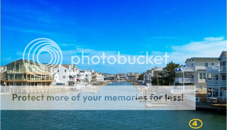
Medium density , high wealth condos line these "streets of water"

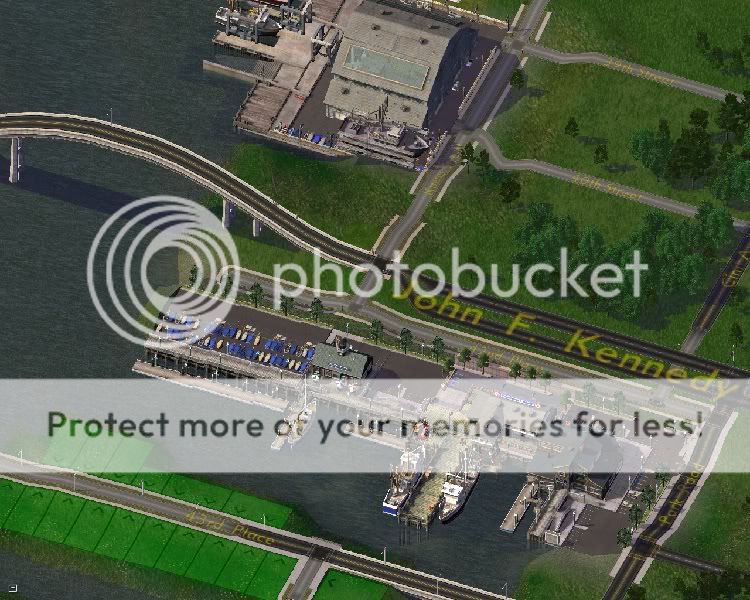
South of where Sea Isle Boulevard enters the island, there are docks where the commercial fishing fleet brings in fresh seafood for the island's many restaurants. Party and charter boats also dock there for those who wish to supply thier own dinner.
Moving north, we come to the Whale Beach section of Sea Isle City.
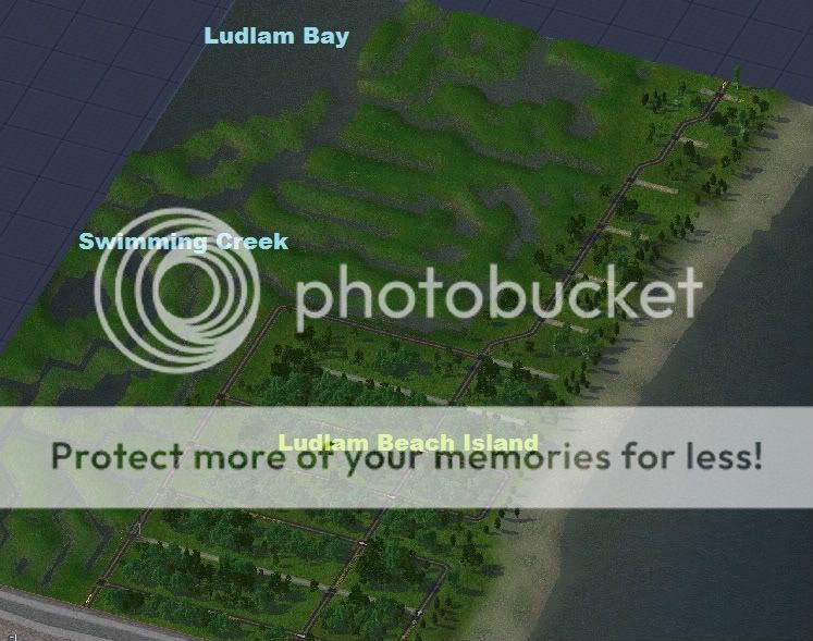
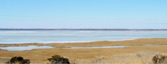
A view of Ludlam Bay from Whale Beach.
Lastly, north Whale Beach is the Strathmere tile. Here, the island narrows to a thin strip of land. During storms and hurricanes, this section of the island has been frequently overwashed by flooding, cutting the island in two. Burrough's Hole and Whale Creek drain Ludlam Bay northward to Corson's Inlet ( off map, north)

Well , there you have it, Eighteen months ( off and on) and over 250 square miles of terraforming. I'd like to thank those who've kept coming back, offering encouragement and keeping me moving forward . Your positive comments kept me going through this task. I hope that you continue this as I begin to develop the region. I hope be back in a few days or so with a development plan . Thanks again !


2 Comments
Recommended Comments
Sign In or register to comment...
To comment in reply, you must be a community member
Sign In
Already have an account? Sign in here.
Sign In NowCreate an Account
Sign up to join our friendly community. It's easy!
Register a New Account